
When I was a kid, my grandparents had a small “camp” on Sebec Lake, near the Narrows. Oftentimes during the summer, we’d either motor out past there in a beat-up aluminum boat, or maybe just a canoe or kayak, where the Big Lake opens up. Between the Narrows, if you squint just right, you can see a small, gleaming white speck toward the north end of the lake.
That’s “the Castle.”
I always wanted to check it out up close, but a) it’s private property, and b) it’s a 4+ mi canoe/kayak ride (one way), and whenever I got the bright idea to do that, I usually didn’t have the time.
This time, I made plans to launch from Willimantic (rather than what used to be my grandparent’s camp) and paddle a little more than 1 mi down Big Wilson past the Castle. And that reminded me: not too far from the Castle—above it, in a manner of speaking—there are the Ice Caves! I thought I’d explore both places in a single trip, and my sister was naïve kind enough to come with me. (I borrowed her husband’s kayak—thanks, Luke!)
Packard Landing
We secured the kayaks and drove north on ME 150 toward Willimantic and Packard Landing. I thought we could launch from Packard’s directly, but that’s not the case: we turned back the way we came and put in at the Sebec Lake boat access ramp. (It’s not that far away.)
During the 1880s, Willimantic sprang up around the Willimantic Spool Mill, which turned the area’s birch wood into spools for the Willimantic Linen Company (based in Connecticut). A man named Burton Marlborough Packard, previously a shipbuilder from Searsport, Maine, moved north to work at the spool mill. Soon after, he bought a piece of land at the mouth of Big Wilson Stream (ca. 1894). At the time, the property “featured” the Lake House—a semi-abandoned and poorly-maintained structure.
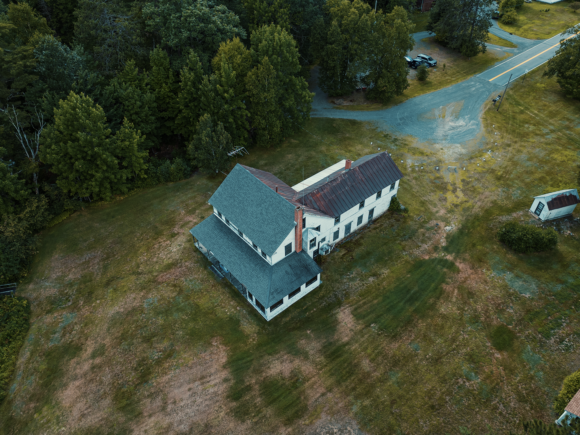
In 1903, the spool mill closed—it seems they (and probably others?) had exhausted the region’s supply of birch trees! Packard didn’t return to Searsport. Instead, he pivoted toward the budding outdoor recreation industry. He restored and updated the Lake House, transforming it into a central meeting place for a series of rustic camps and cabins he built in the immediate vicinity. Packard transformed that parcel he’d owned for nearly a decade (1894) from a ruin-in-waiting into a sought-after destination, largely serving wealthy tourists from New York and Boston.
Packard Landing—and many of the associated camps—remain within the care of the Packard family to this day.
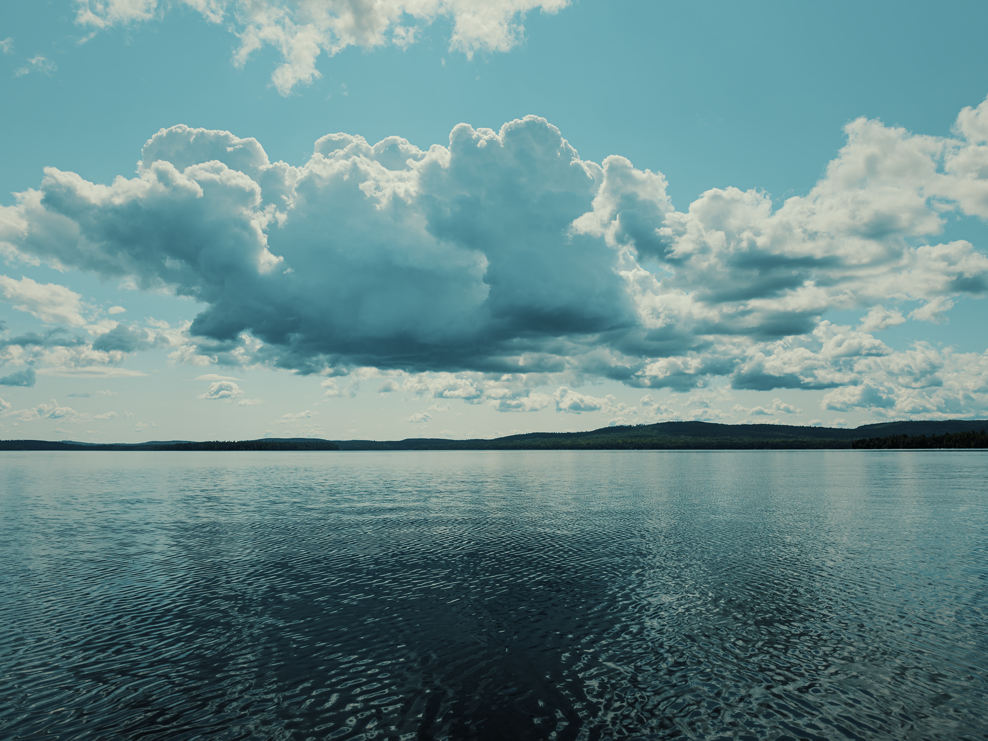
We paddled past the landing and its camps and what remains of the Lake House. Hardly any wind disturbed us, and massive clouds shielded us from the worst of the sun. Sebec is often mildly tannic (I think), but its water is usually pretty clear, and today was no exception. Looking down from over the edge of my (borrowed) kayak, I could see the bottom—tinted a light yellow-brown—in many places that other bodies of water would conceal.
The Big Lake
Before the arrival of settlers to the area, members of the Wabanaki Confederacy, most likely the Penobscot nation, would have used Sebec Lake as a gateway of sorts from the Piscataquis in the southeast on their way toward Ship Pond and Big Wilson Streams toward the northwest. From those waterways, it’s probable they would have ventured deeper into the interior of what is now Maine, perhaps on their way to Lake Onawa or Moosehead Lake.
The name Sebec comes from a Wabanaki word, likely sebecco or sebagook, both of which convey the concept of “Great Water” or “Big Lake.” Even today, people familiar with Sebec call this portion the Big Lake (north of the Narrows). Bearing similar linguistic roots, Sebago Lake (Maine’s second-largest) sits about 100 mi southwest of here.
The Castle
In 1854, Willis E. Parsons was born in Sangerville, Maine. In his adult years, be became a well-known (and well-to-do) lawyer operating out of Foxcroft, Maine. (Anyone from the area probably knows this town—rather, these towns—as Dover-Foxcroft today). Later, Parsons served as a Maine state senator, and later still as Maine’s “first” Commissioner of Inland Fisheries and Game—after its 1919 overhaul.
During the 1880s, he traveled to Europe, where turrets, castles, and fortresses captivated his imagination. On his return to the United States, he got engaged to a local woman named Agnes Lynch, and the two were married in 1890.
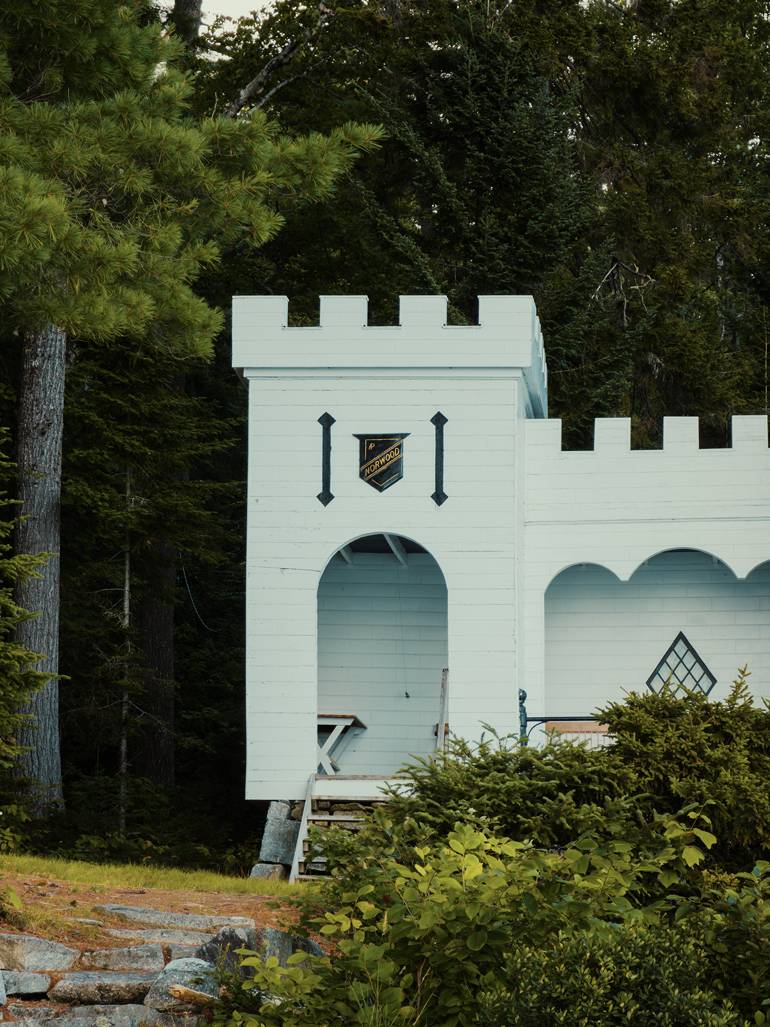
Parsons, ever the romantic, wanted to present his bride with a gift unlike any other—something unique to the North Woods unlikely to duplicated or outdone. With European castles likely still fresh in his mind, he commissioned a castle for her! In that era, transporting European stones across the Atlantic and into Maine’s interior would have been logistically improbable, so Parsons had the structure built from one of the region’s most abundant resources: wood. In 1893, he hired French-Canadian laborers to lay a granite foundation (by hand!) right on the water; next, they raised castle.
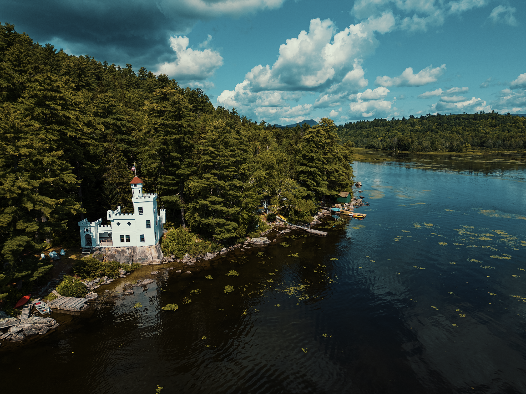
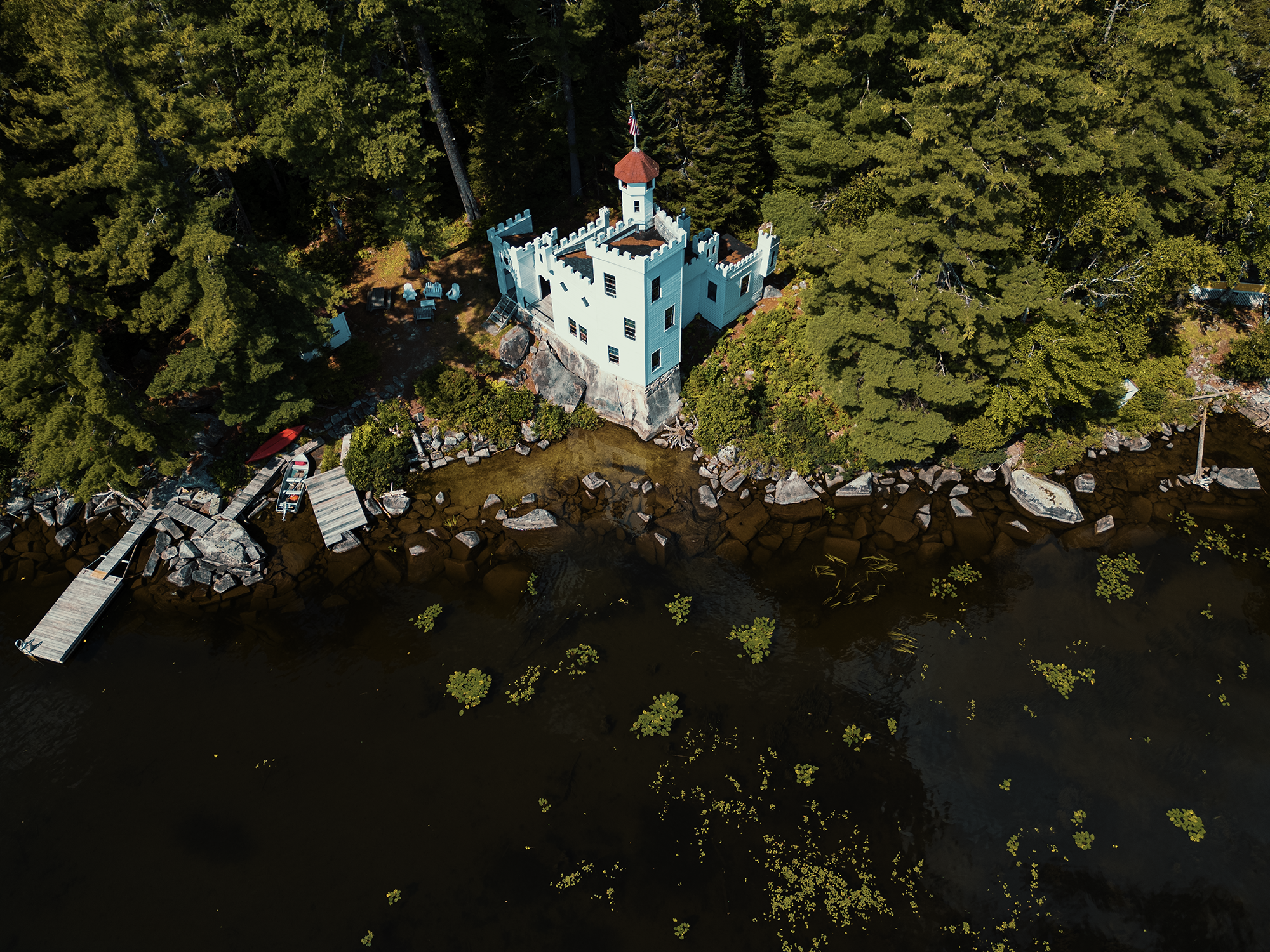
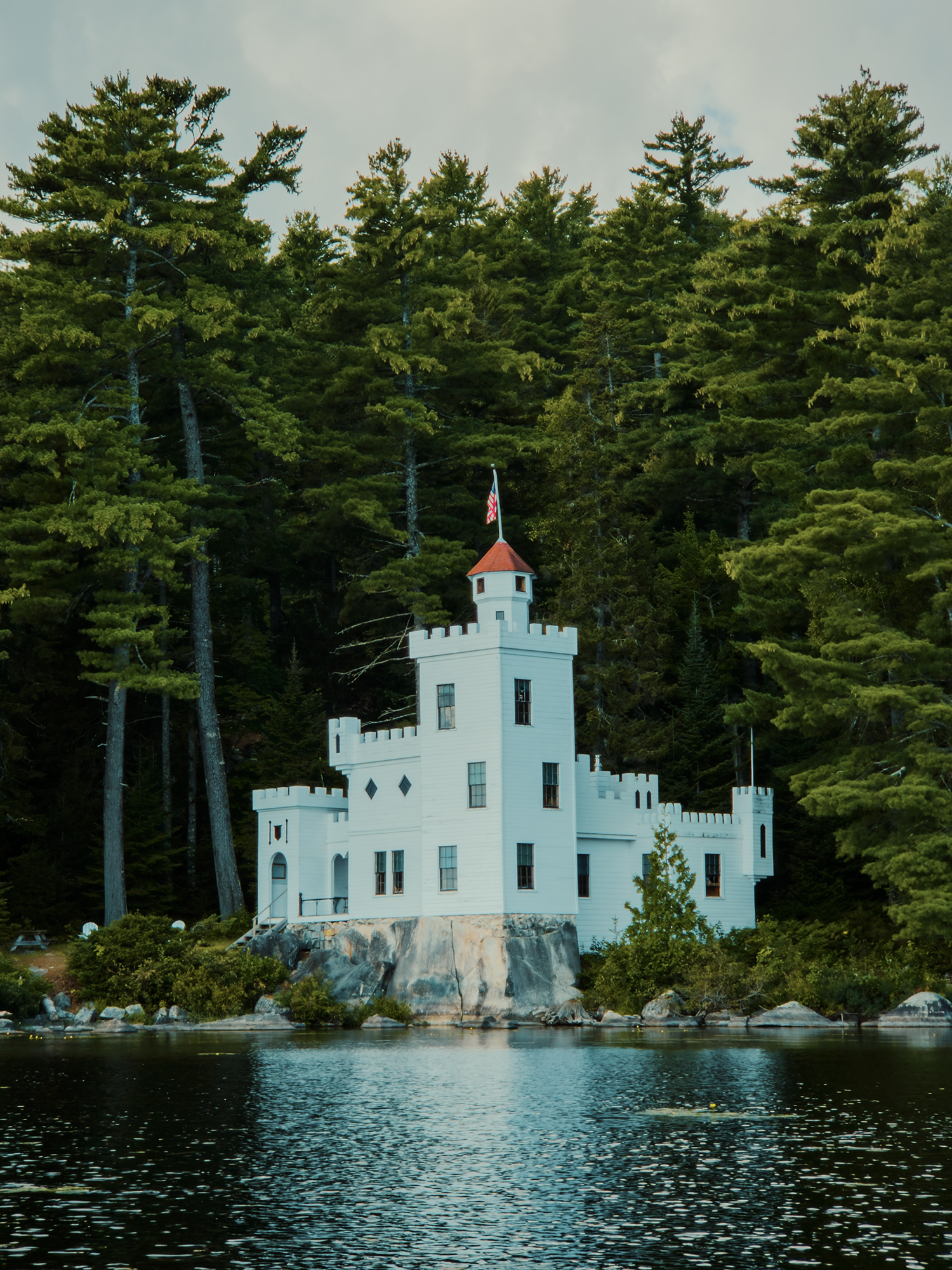
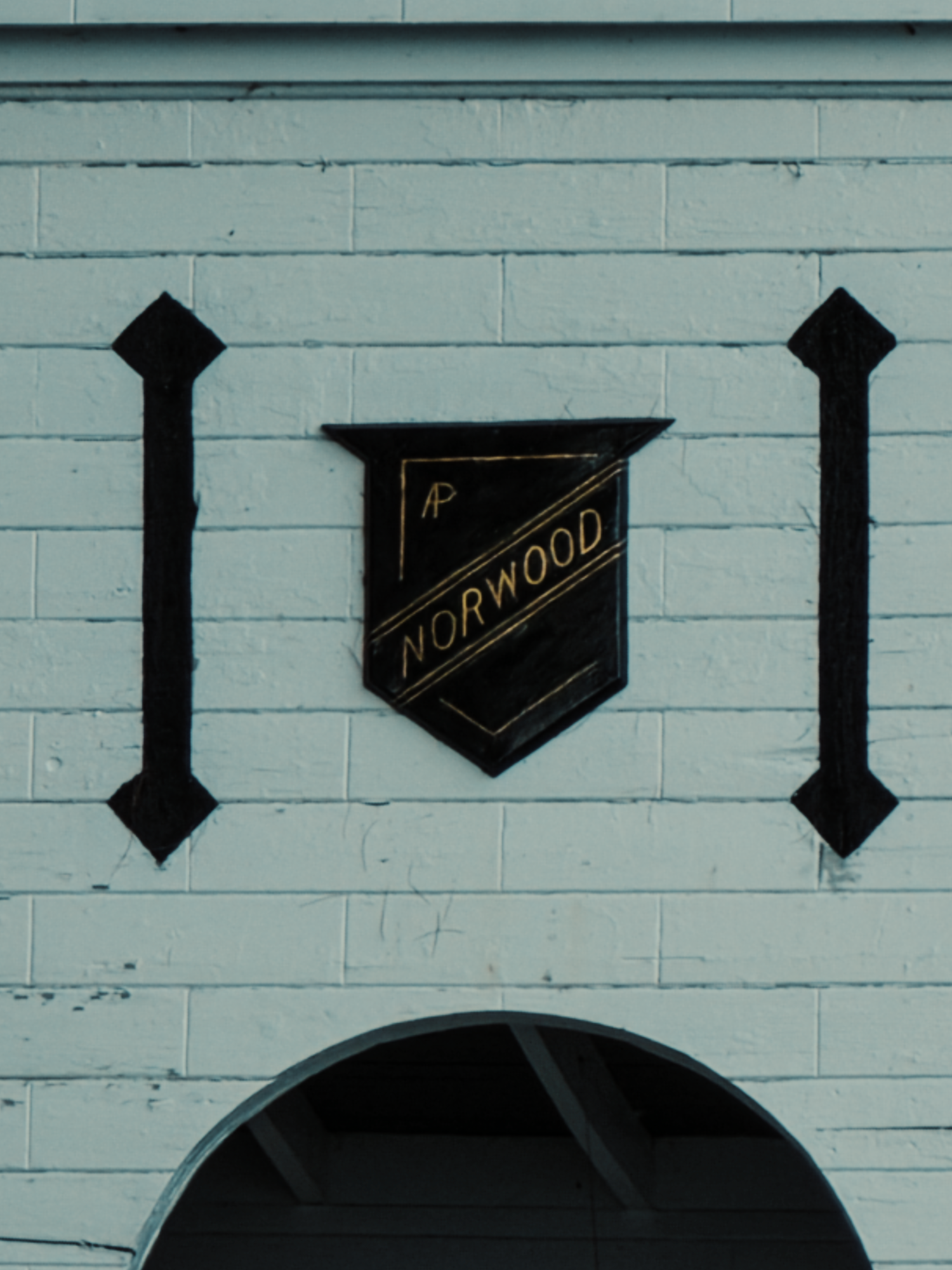
Parsons named his gift to Agnes Norwood, a portmanteau of north and woods. Its total cost? $1,200! That’s roughly $44,000 in today’s purchasing power. And over 130 years later, their descendants [I mistakenly say ancestors in the video] still own and seasonally return to Norwood. I wonder if Willis and Agnes ever considered that their castle would remain standing, a refuge for future generations, so many years later?
The Ice Caves
We admired Norwood Castle for a little while, then paddled into deeper water. Here, Sebec remains pretty shallow (maybe 6 to 10 ft?) for quite some distance (you can see lily pads in parts of the video). [It’s also worth pointing out that Sebec’s Big Lake reaches up to 155 ft deep!] Hugging the shore (within 50 to 300 ft or so), we paddled southwest past a number of giant rocks and a handful of camps. About 7/10 mi later, my map suggested we were close to the mouth of Ice Cave Brook, but I didn’t see anything.
At least, I thought I didn’t.
We kayaked up and down a sandy section of shoreline until I spotted something that seemed the most likely option. Before we could paddle over to it, a man stepped out of the woods and asked if he could “help us” with something.
That’s code for what are you doing on my land?!
I told him we were looking for Ice Cave Brook, hoping to find a trail to the Ice Caves. When he told us we were paddling past private land, I told him I didn’t intend to trespass, and I’d be happy to leave if that’s what he wanted. Graciously, he said we could beach our kayaks and hike through his property. He said there was a trail with red blazes that should take us to the Ice Caves. (Thanks, landowner!)
After we beached the kayaks under a tree, we walked to the edge of the property: I suspect Ice Cave Brook was one of its boundaries. From there, we ventured into the woods, attempting to keep to the brook, but, as the video shows, there was a dense combination of blowdown, felled trees, and, well, forest, really! We came across what I thought were the red blazes we were supposed to be looking for, but after a while, I realized something wasn’t right.
Granite Mountain isn’t a large mountain. Heck, it’s barely a mountain at all at just about 730 ft high. I knew if we just turned into the rising slope, we’d eventually find something. I didn’t tell my sister, because the last time I convinced her to go hiking with me, 8 mi turned into 11 mi, and no one was too happy with me after that.
After hiking up (a very gradual up), we reached a broad dirt road. In the video, I labeled it Granite Mountain Shores, but I think it’s really Granite Mountain Road. It seems Granite Mountain Shores isn’t much more than an old run for electrical lines, today mostly covered with trees!
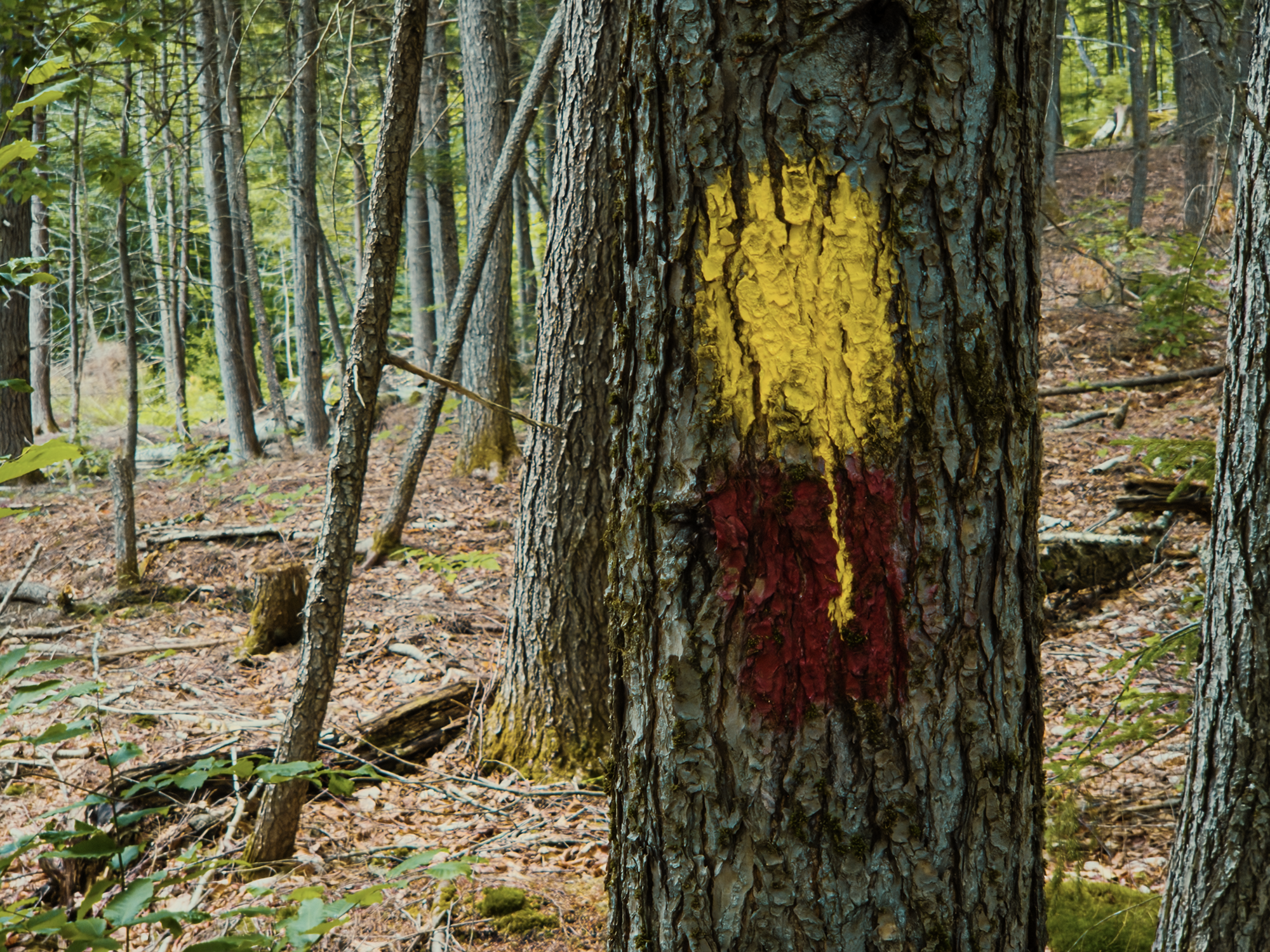
We didn’t have to follow the road—whatever its name—for very long: near a dip where Ice Cave Brook crosses it, we saw the real red blazes! Turning right, we followed them for about 1/2 mi. The landowner told us someone else had blazed a similar trail—with yellow paint, and after a while, we noticed trees sporting both colors:
Maybe it’s because I’m older than I was when I last hiked up to the Ice Caves, or maybe it’s because this route is not an open-air, scraggly, lowbush blueberry torture chamber like the route ascending from Packard Landing, but we reached the first sign for the Ice Caves after what felt like not enough hiking. [Later, I discovered that first sign is not the sign I remember from my childhood.]
I was ready to dash into the trees and over the rocks right there, but my sister suggested we follow the trail a little longer. It’s a good thing I listened, because that’s when we reached the “real” Ice Caves sign:
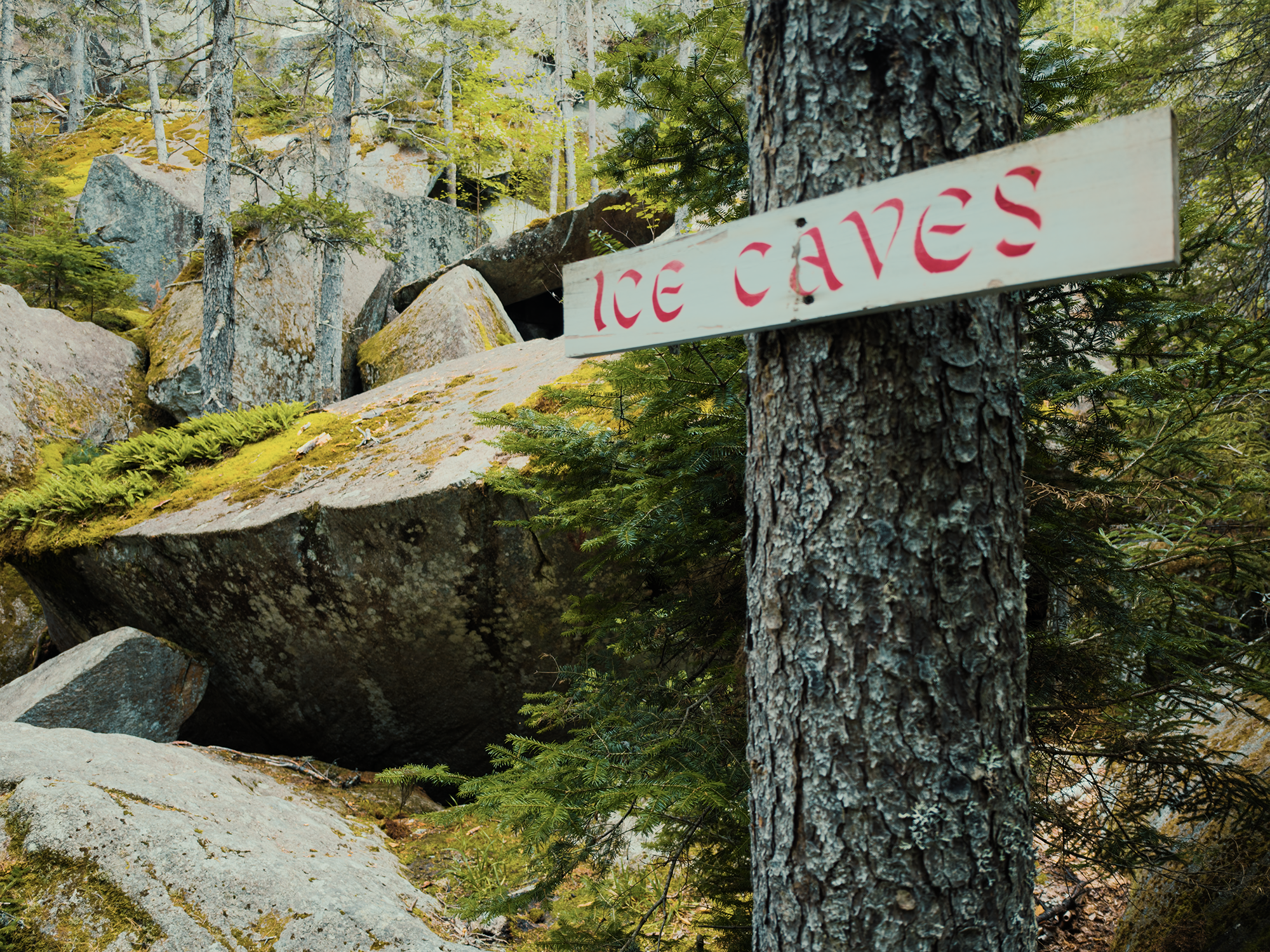
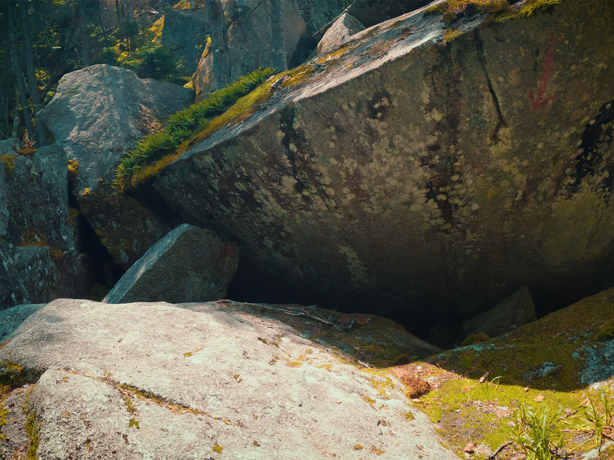
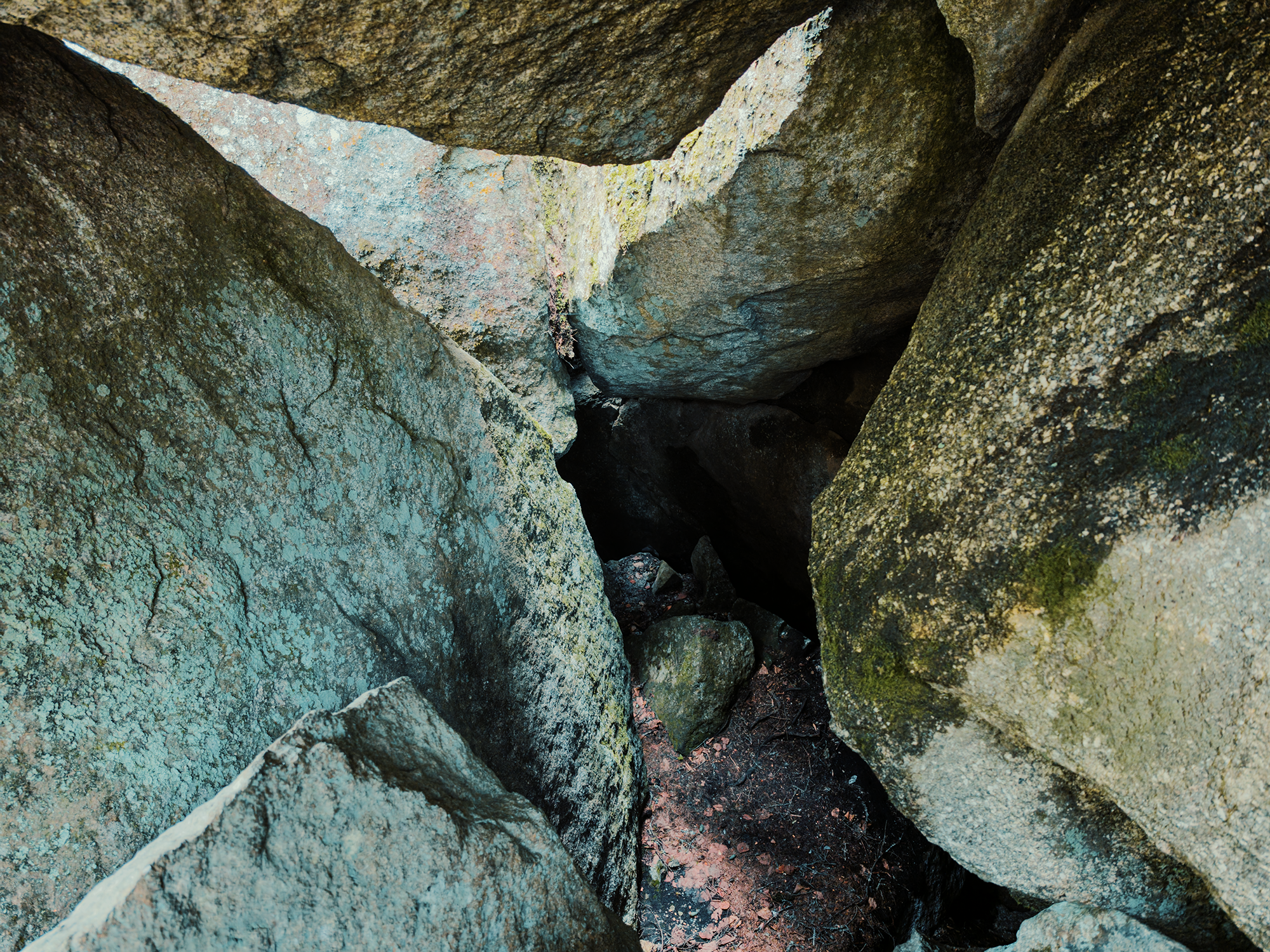
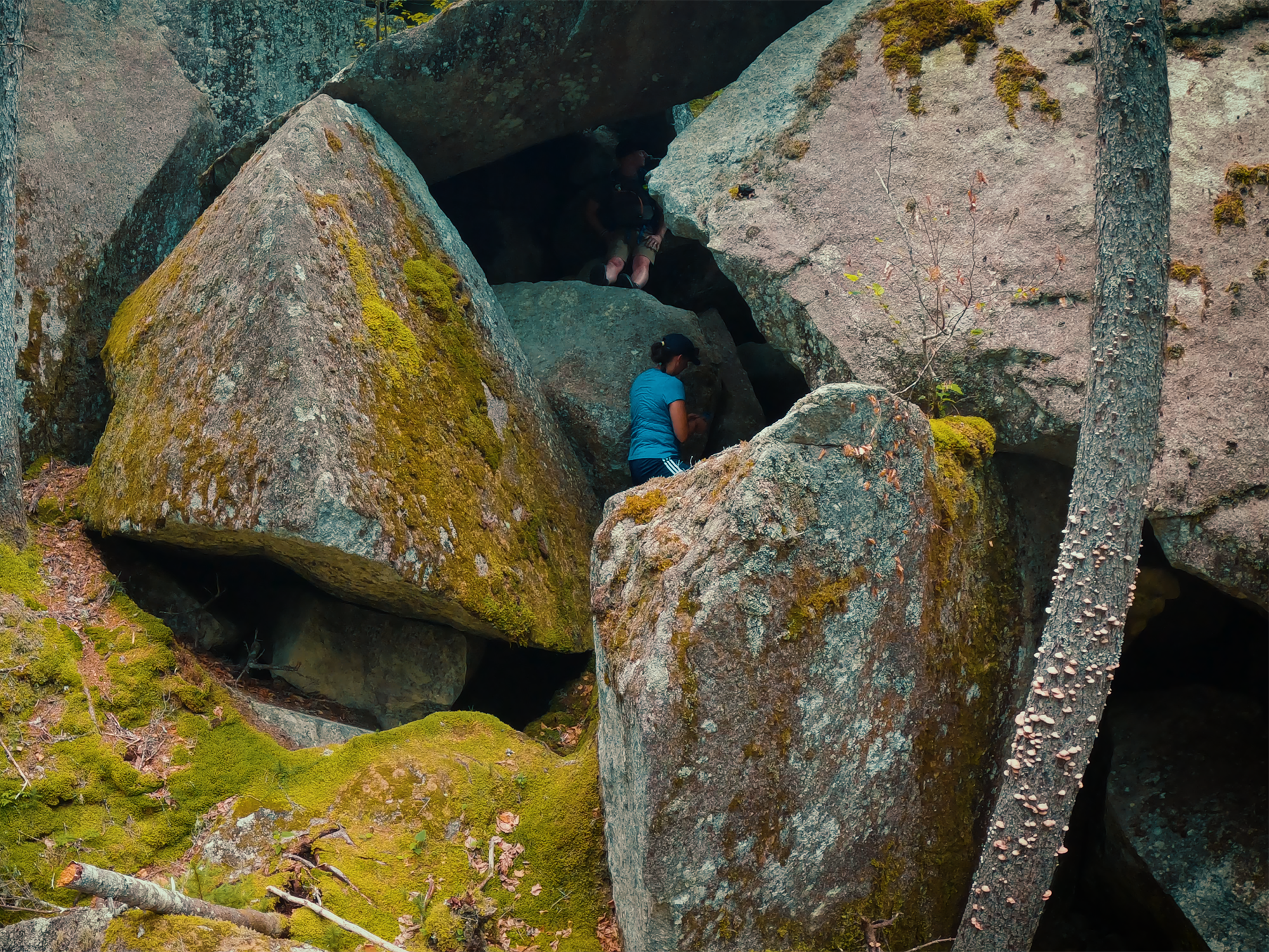
“Ice Caves” is really something of a misnomer. These aren’t caves in the groundwater-erosion sense; rather, they’re talus caves, formed when boulders and slabs of rock break away from a larger massif and tumble into positions that create cave- and tunnel-like structures. People warned us that the ice had melted in July (it was early August), and that indeed seemed to be the case. Still, the air at the bottom of these “caves” is noticeably cooler than the ambient temperature “outside.”
I’m no meteorologist, but from what I understand, during the colder, winter months, ice and snow and colder air filter their way toward these lower reaches. In the spring and summer, as the temperature rises, warmer air lacks the density required to displace that colder air, and so it glides over the top of such “pockets.” Of course, eventually, after enough thermal contact, the constant warm air raises the temperature in the caves above freezing, and the ice melts.
Even without the ice, these caves are beautiful to behold:
Ragged Mountain
Whenever I’d come here as a kid, I never managed to get terribly high up the slope of Ragged Mountain (840 ft). [There’s another Ragged Mountain nearer Camden Hills State Park.] The rocks here are extremely steep and relatively smooth, punctuated here and there with crevices large enough to fall into and disappear.
This time, things would be different!
My sister (wisely!) remained closer to the ground while I scouted out a route toward the summit. Along the way, I discovered an old Busch beer can, probably left by Sasquatch or something, I don’t know. I’d been up here before (no, that wasn’t my Busch beer can!), but not much higher. I walked back and forth across the lichen-encrusted and moss-covered faces of the rocks until I found a route that seemed achievable. Using some of those aforementioned crevices for hand- and footholds, I kept my body as close to the rocks as I could while still gaining ground. One foot did slip—briefly—but not too badly.
Along the way, I looked back to see if I could still see my sister. I couldn’t, but I got a great view of Borestone Mountain toward the north-northwest!
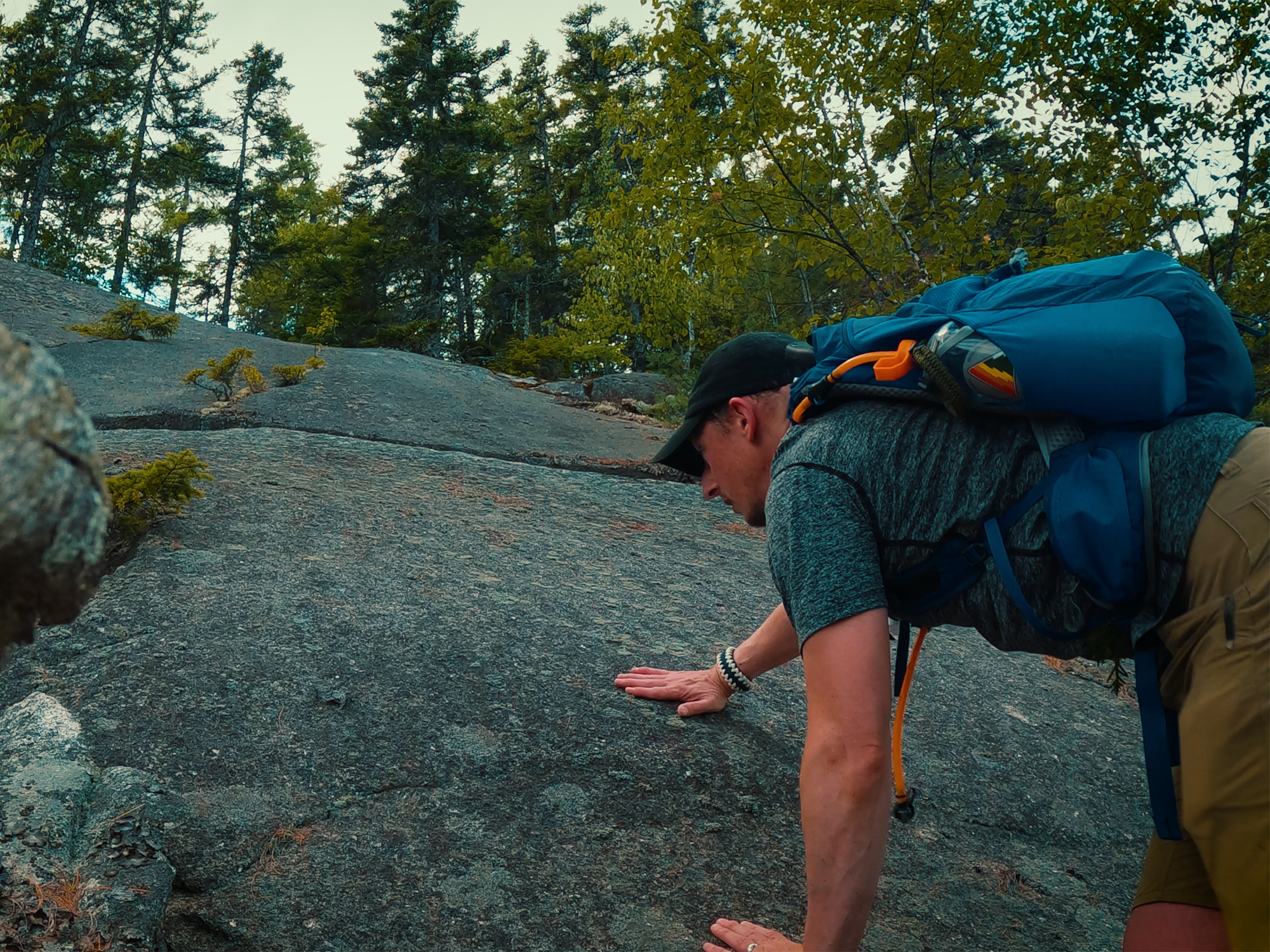
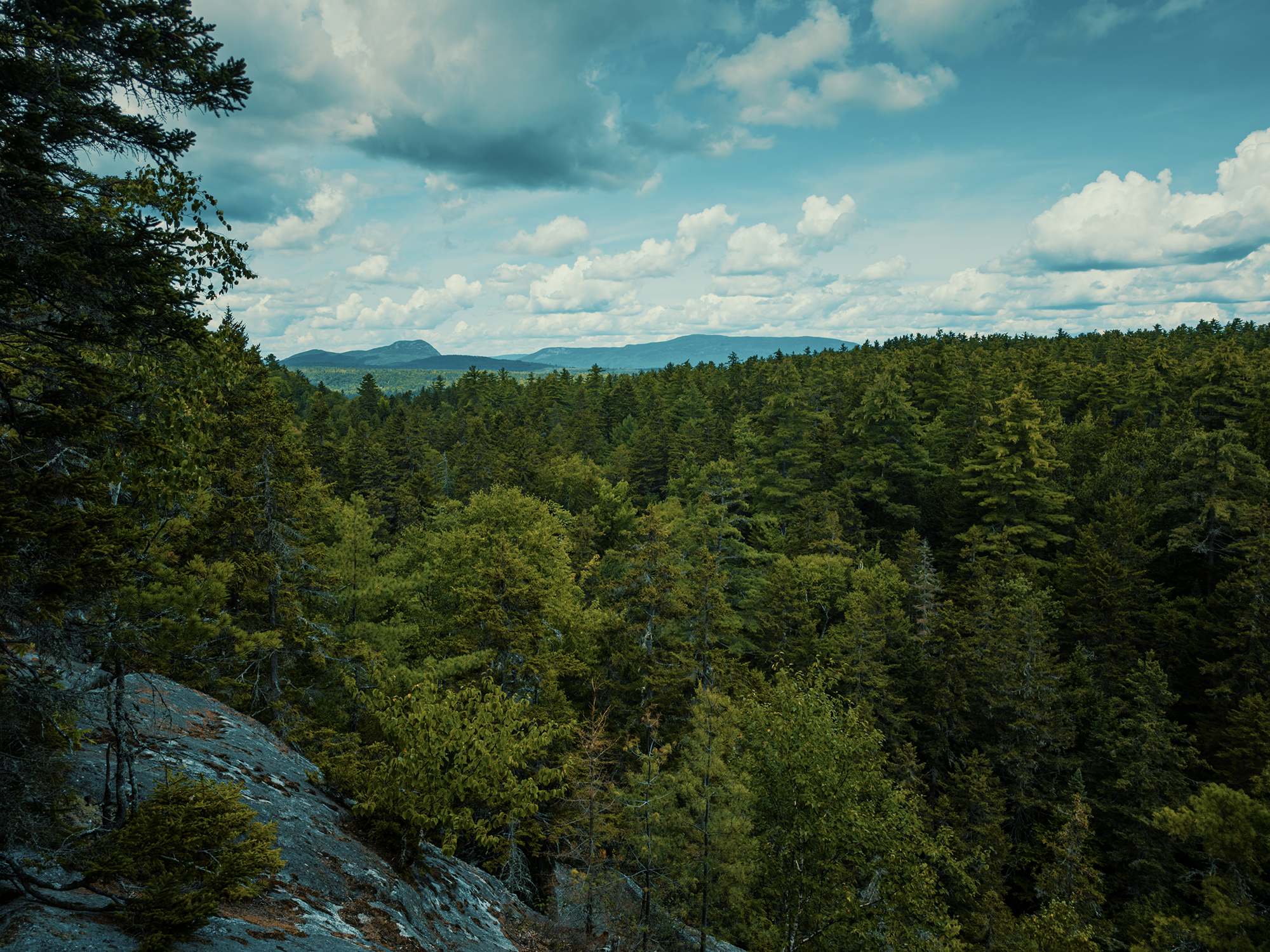
I did have to claw my way through scraggly, lowbush blueberry shrubs on my way up—I guess there’s no escaping them entirely! Once at the summit, I couldn’t see…anything.
It’s entirely treed in.
I suspected this might have been the case. Since I had my drone with me, I flew it around for a while for some amazing views of Sebec’s Big Lake to the southeast and Bodfish Valley (Borestone and Barren) to the northwest:
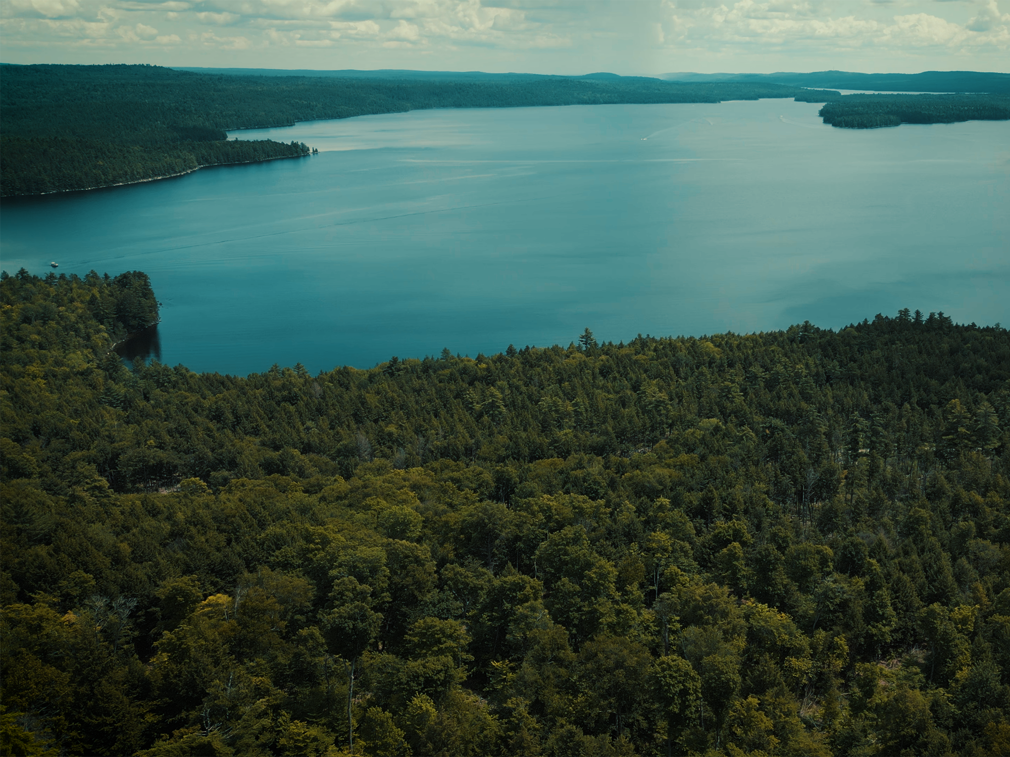
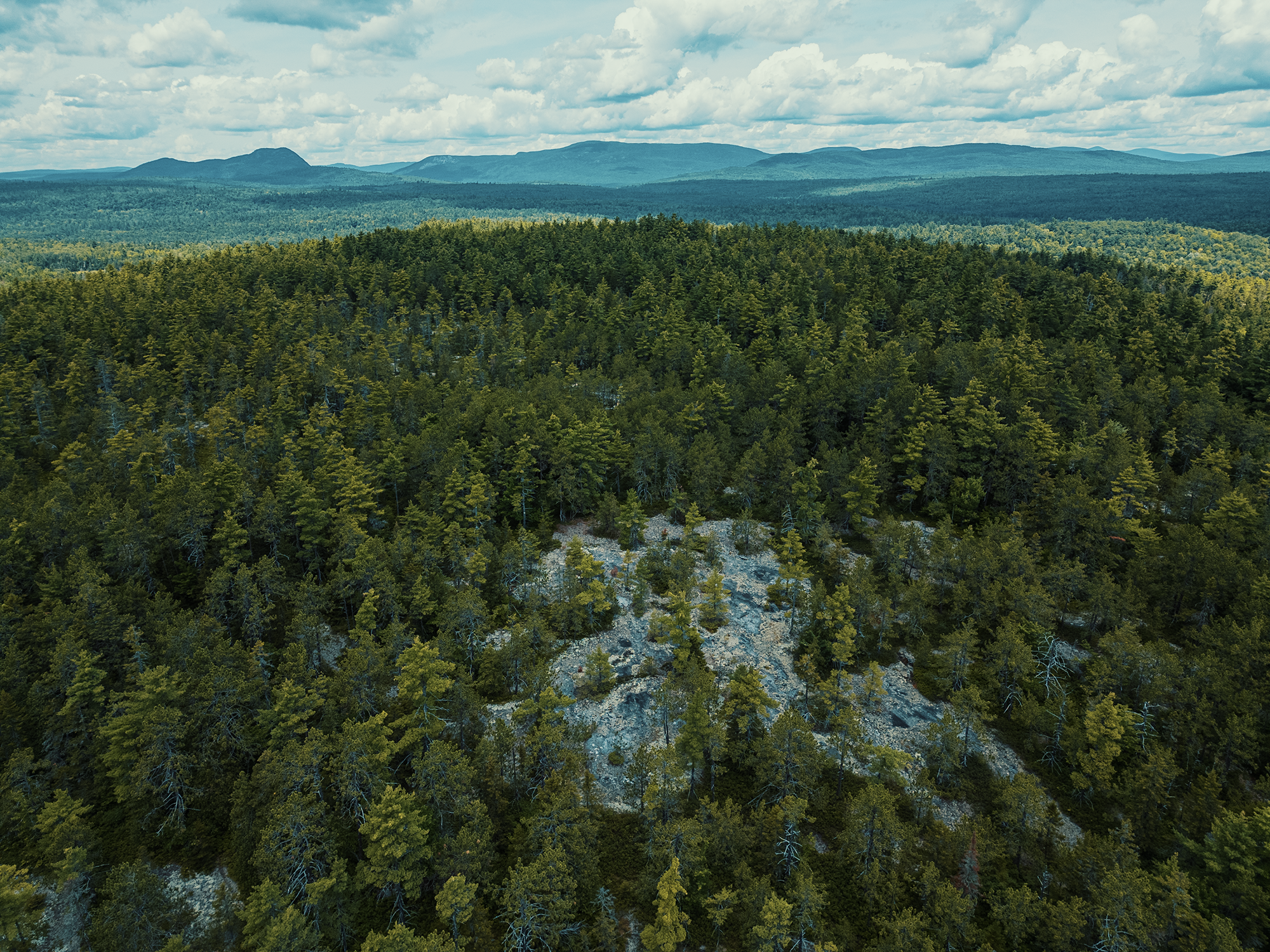
I stayed up here for a little while, just appreciating the scents and the solitude: then I remembered I’d left my sister a hundred feet or so below! I packed everything away and started crab-walking myself toward lower elevations. I think it took about twice as long to get down from Ragged Mountain as it did to get up.
Wrapping up
Once back on the trail, we hiked back to our kayaks (without getting lost this time) and paddled back to the boat launch.
I don’t think we could have scripted a better day for this trip! Bright, partly cloudy skies (in the best possible way), gentle breezes blowing across Sebec’s surface (just enough to generate thousands of tiny ripples) from time to time on an otherwise untroubled lake. I’m grateful my sister volunteered—I’m pretty sure she volunteered—to accompany me today. I enjoyed researching some of the history surrounding the region and seeing those places from the past in the present again.
Catch the whole adventure on YouTube! Please consider subscribing (if you haven’t already). Thanks for stopping by!