In a previous post, I talked about hiking Borestone Mountain. A lot. Probably too much. That said, I had never hiked it in the winter before. Since our family was back in Maine for Christmas in 2024, I thought I’d make the most of the opportunity. My truck is only 2WD, and since we don’t get a lot of snow in the southeast, my tires aren’t well-suited to winter roads up here. Fortunately, Dad was willing to drive me to the parking area (and then home again afterward, which, given the sub-freezing temperatures, seems like an important detail).
There were no vehicles in the parking area when he dropped me off. At this time of year, in these conditions, that was a huge plus in my opinion! We’d gotten maybe eight, maybe nine inches of snow a couple of days earlier, so much of what remained was relatively undisturbed. I think it was around 11:00 hrs when I arrived.
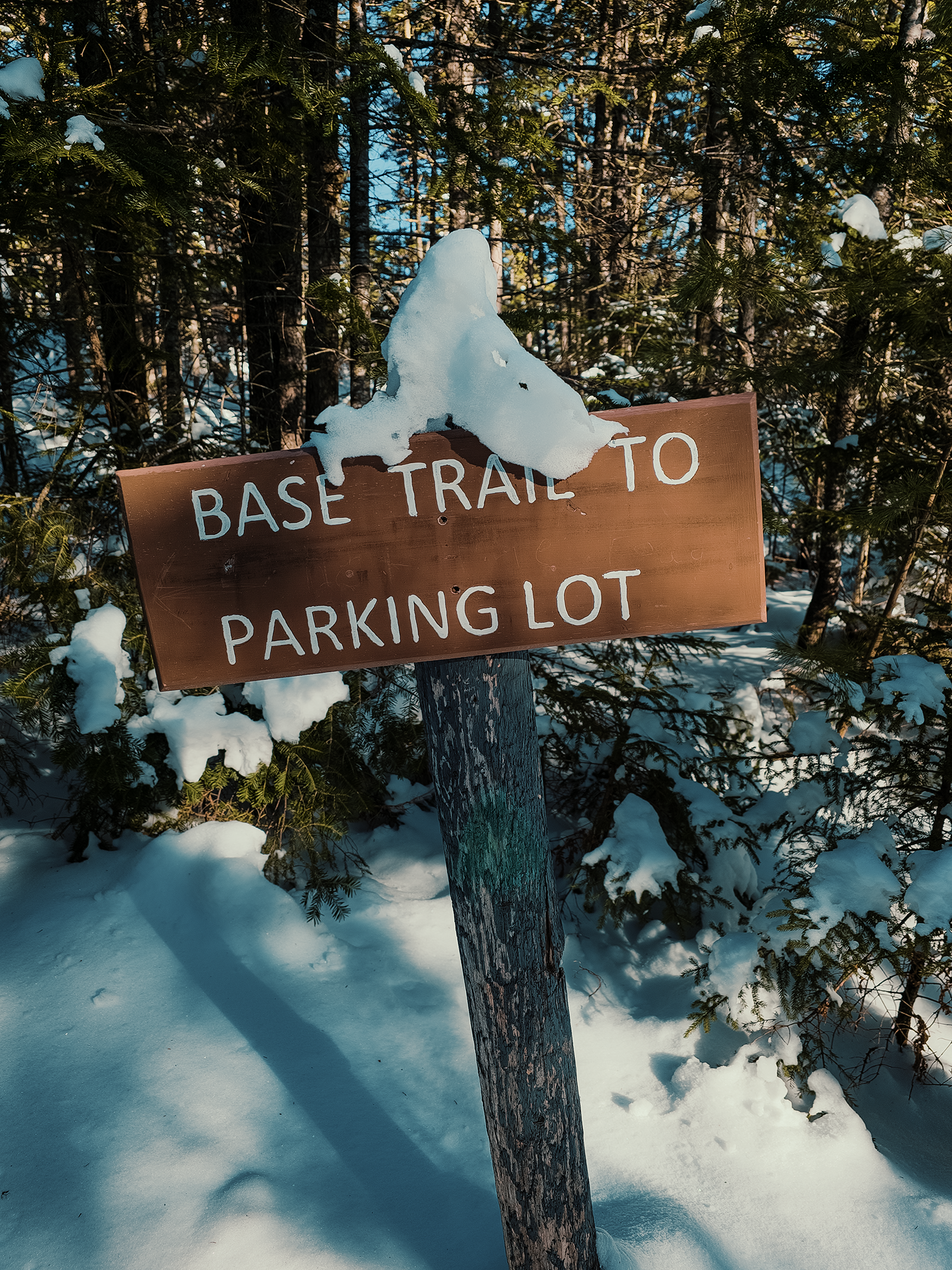
Base Trail
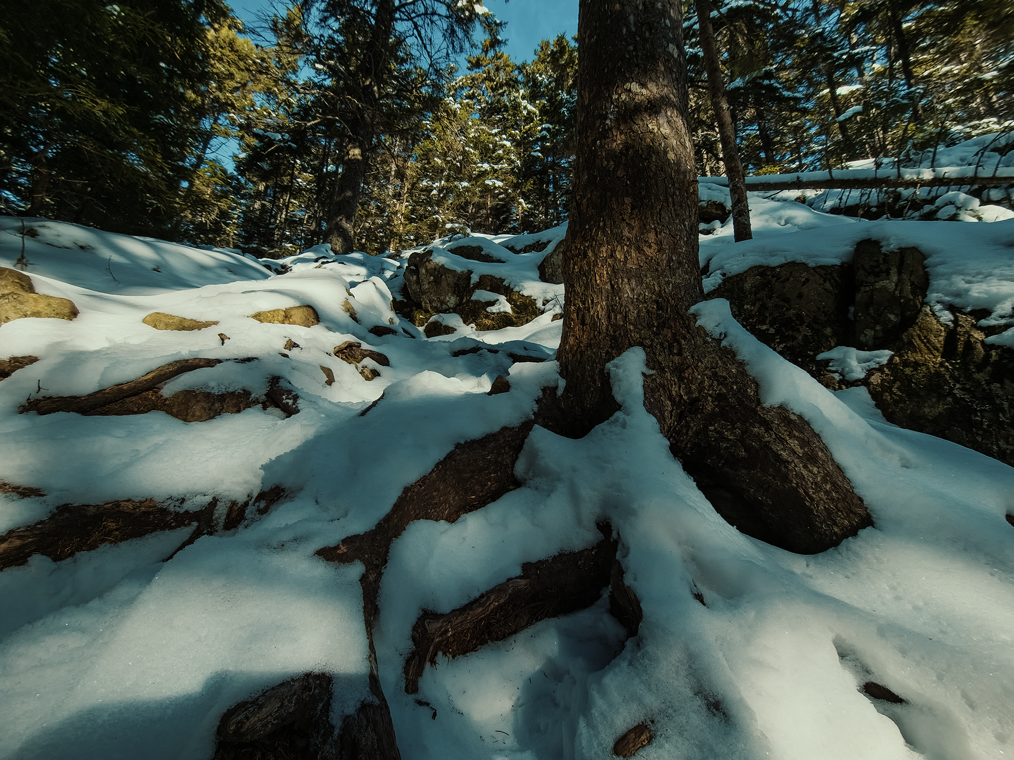
I think in this post, it makes sense to describe things from a more reflective perspective. That’s my plan, anyway. Squeezing past the gate, I started up the Base Trail. In the summer, I usually think of the woods as quiet, forgetting all the ambient noises of buzzing insects, singing birds, even leaves rustling from gentle breezes. Today, I realized just how not quiet it really is in the summer! With snow clinging to tree boughs and the ground, almost every sound wave gets absorbed or diffracted in unique ways, surrounding one with a…pressure, I’ll say, even if that’s not strictly accurate. Aside from the noise of each footstep crunching from the inside of my head, almost nothing stirred. That’s how it felt, anyway.
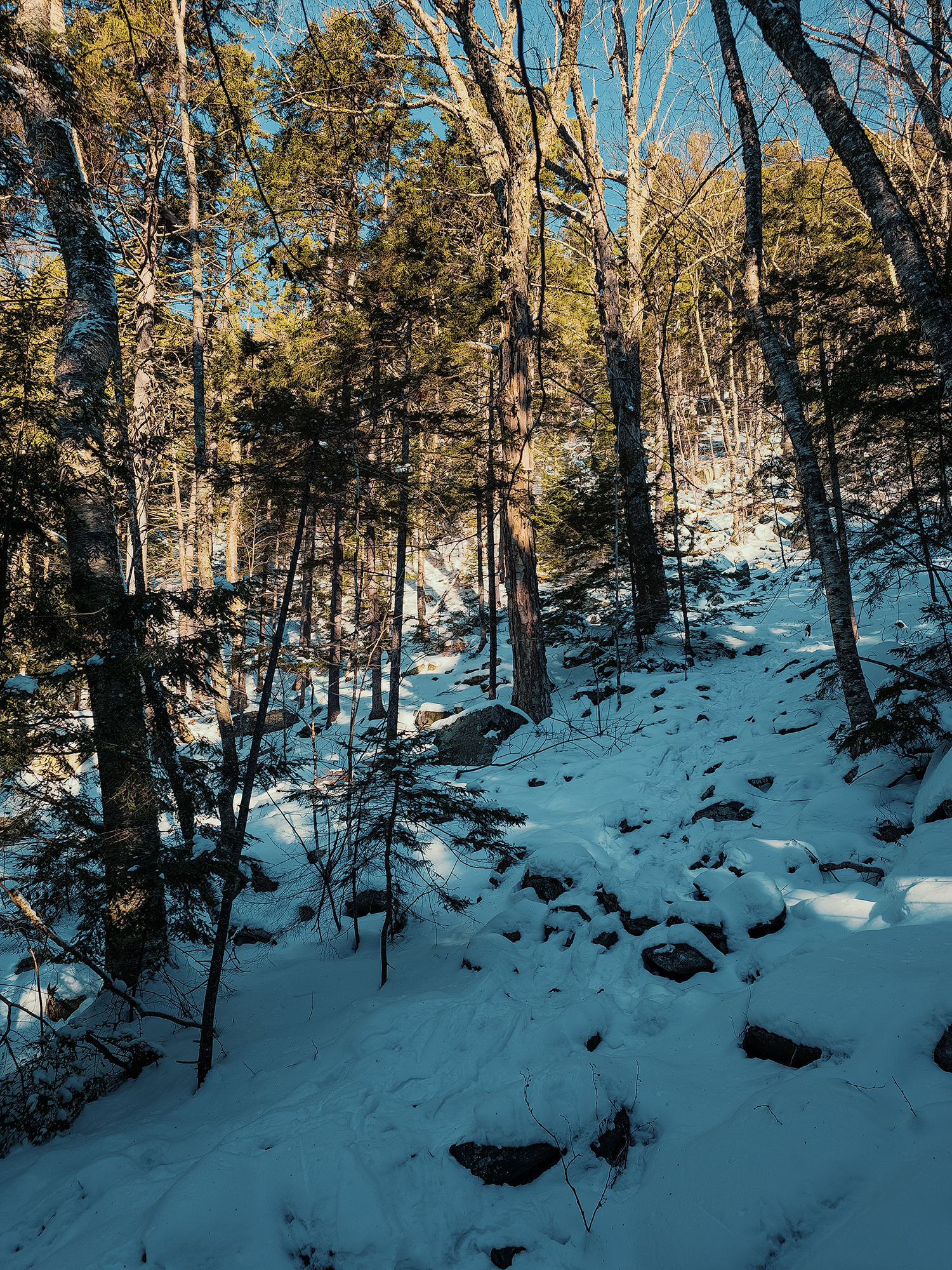
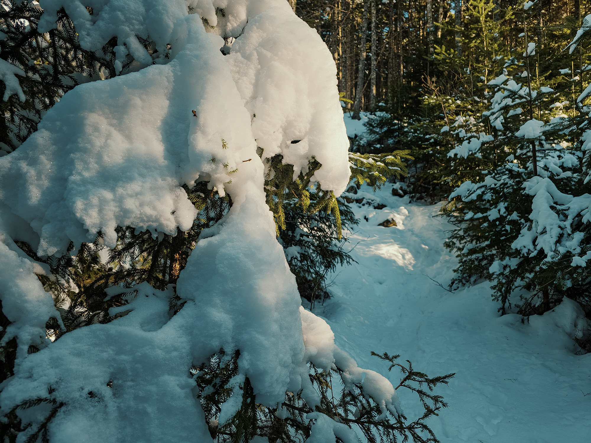
And, of course, the terrain doesn’t change, but its feel is different, even with just eight or so inches of snow. For maybe the first mile, I wondered what could have made these rail-like tracks I saw. Well, maybe not for the entire first mile: after a couple of minutes, I realized they were from snowshoes. When I was younger, Dad had a pair (or two) of old-style snowshoes: the wooden hoops with a gut “net” which held leather bindings laced with rawhide. They looked like giant tennis rackets with extra stuff in the way. By the time I heard about “modern” snowshoes—those aluminum-framed things with a narrower footprint—I’d moved south, and so I’d never seen their tracks before.
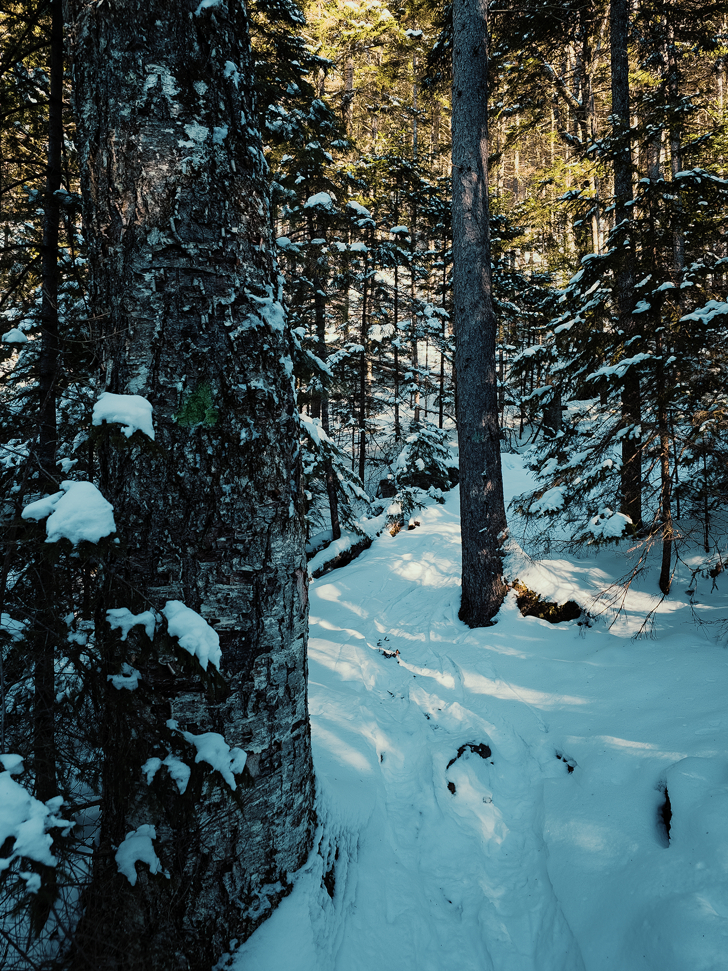
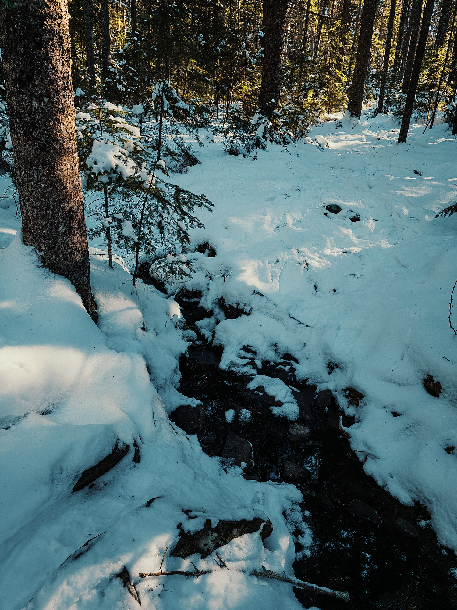
There’s a very small stream (“stream” might be too strong a word) that crosses the trail not quite halfway up. Even though it was below 32°F, the water was still running. I’m sure its discharge depends on at least a few factors, but even in the summer, most of the time it’s barely a trickle. I hopped across the stream and hiked up until I reached the fork between the Greenwood Overlook and the Summit Trail.
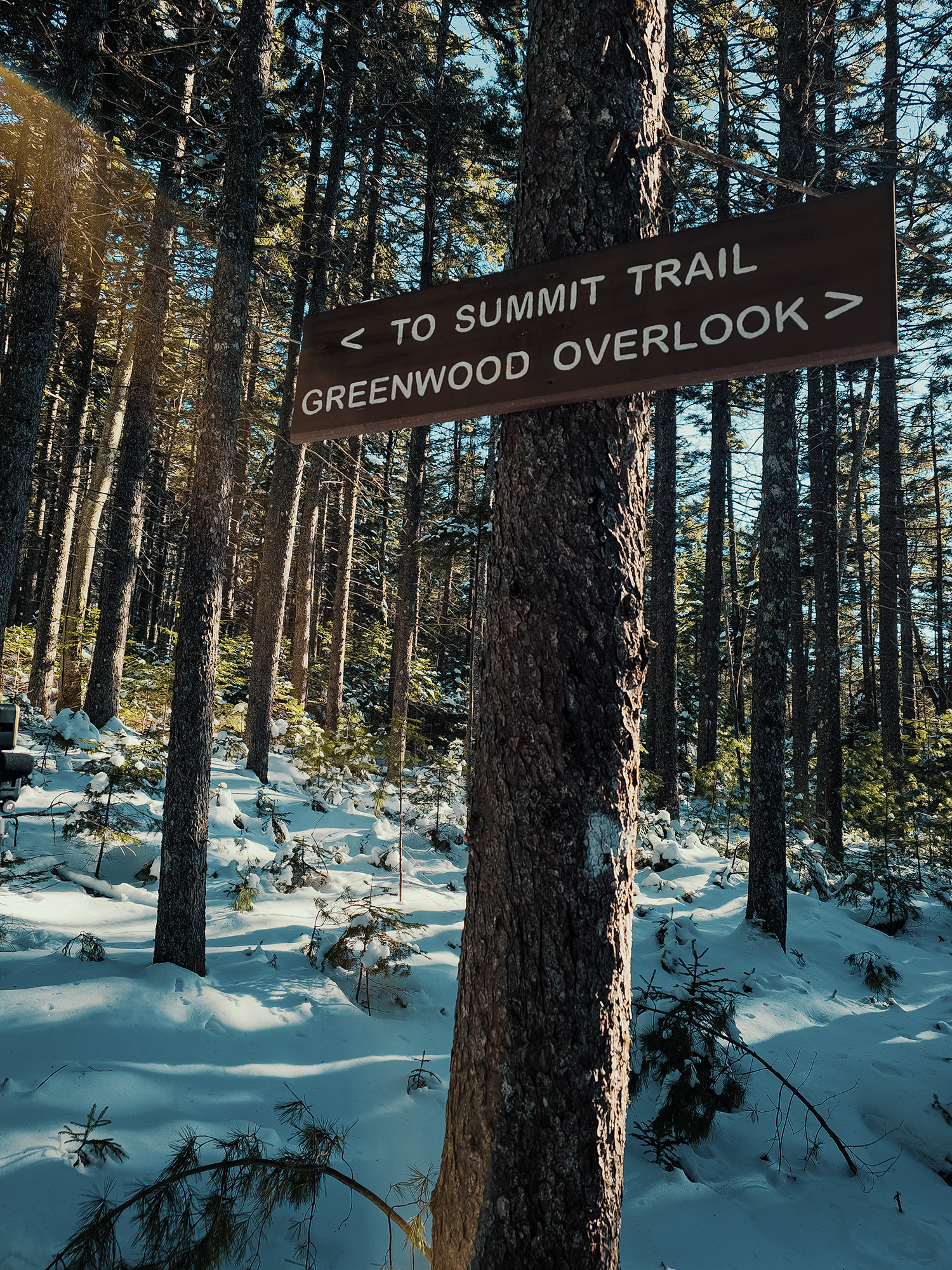
I think getting started at 11:00 hrs is normally plenty of time to take in all of Borestone Mountain, but today, given my slower pace (and my reliance on someone else for rides), I skipped the Greenwood Overlook and continued toward the Summit Trail.
If you’re from Maine—or maybe, more accurately, if you’ve recently lived in Maine for more than a few years—30°F is just about T-shirt weather. I’ve been away from Maine in the winter for over twenty years now, and I must admit that 30°F isn’t T-shirt weather for me anymore. That said, with the effort of ascending the Base Trail, I was plenty warm. Maybe even a little too warm.
I reached the old access road (where the Base Trail ends) and headed left toward the Visitor Center. As expected, I had the place to myself. Well, I had the snow-covered picnic table and locked-up building to myself. The dock, too, I guess.
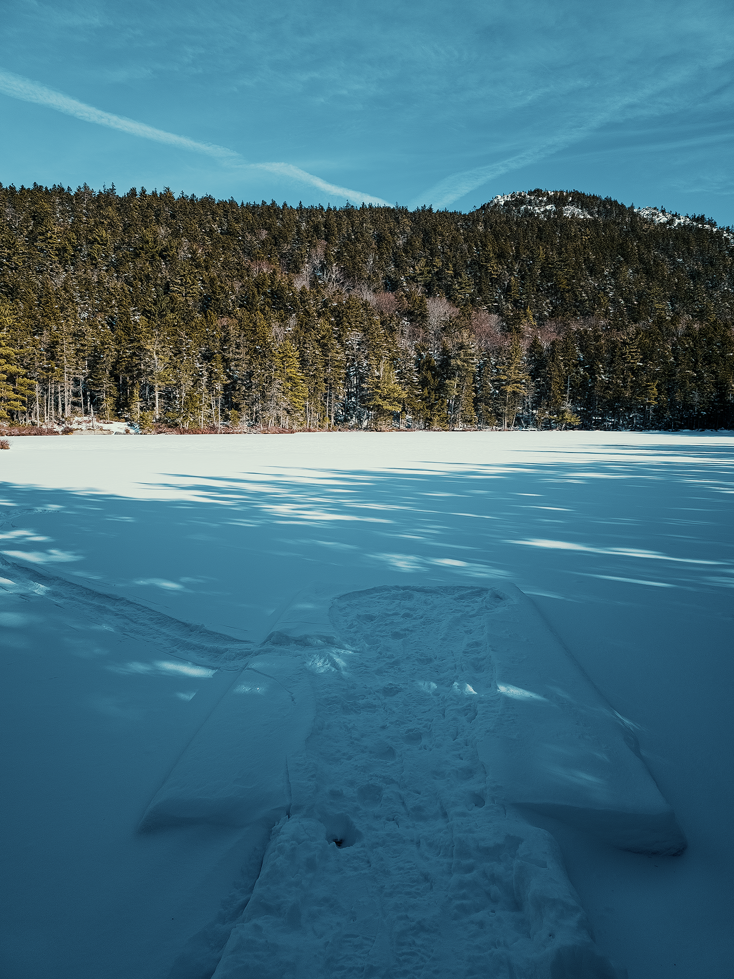
It looked like the snowshoe crew had made it at least as far as the Visitor Center. Footprints packed down much of the snow on the dock at Sunrise Pond, and there was even a trail across the ice toward Midday Pond (and possibly the Lodges). I don’t know if that was someone on official business or simply some curious explorer.
Just before you reach the Visitor Center, there’s a spur off to the left that runs over Peregrine Ridge. In hindsight, it’s probably best that I didn’t attempt it today, but I really would have liked to see the ponds from the vantage at the end of that trail! Instead, I had my drone with me, so I flew it over the ponds for a bit, trying to get some good aerial shots of the West Peak.
This place feels pretty isolated even in the summer, even when others aren’t too far ahead of or behind you on the trails, but today, looking down on everything (including myself) from a few hundred feet in the air, things felt even more isolated. Leafless trees. Lengthening shadows. Even just before noon, the angle of the sun makes you feel like it’s almost three or four o’clock somehow!
The icy surface of Sunrise Pond let the wind gain more momentum than the trail; that, coupled with standing (mostly) still and messing with the drone, sucked away some of the warmth from earlier, so I packed my things away, signed in and paid my $5 at the drop box, and continued on the Summit Trail. [Thanks, Dad, for the $5!]
Summit Trail
The first few hundred feet of the Summit Trail are relatively…well, not flat, but even, maybe; with the snow, the trail felt “flatter” still. Sure, you’re still walking across rocks and roots, but the ice and snow fill in some of those gaps. Away from the openness of the pond, the wind, subtle as it was, lost its edge as the trees absorbed its strength. Moving quickly—at least more quickly than before—I shrugged off the subtle chill from the dock until I reached the real start of the Base Trail’s uphill stretch.
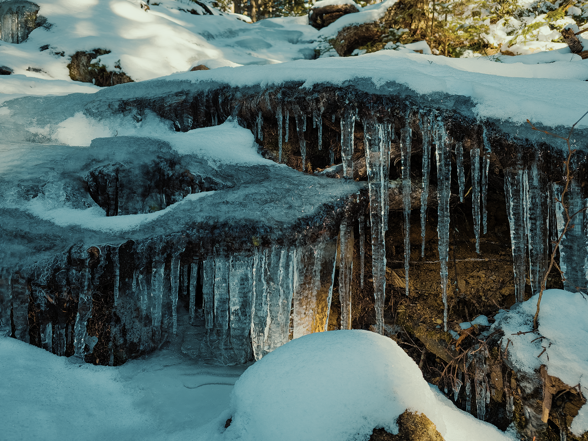
I don’t think I’d gained more than a hundred feet or so before I reached a section of the trail that had these amazing icicles dripping from a ledge-like portion of exposed rocks and roots! Even better, here the route ascends in a half circle, so it feels like the icicles—hanging almost above you—are larger than they really are:
By now, I think I realized the last of the snowshoe tracks had ended some time ago. That’s probably for the best, given the upcoming terrain! In the summer—even in the spring and fall—you can’t always gauge how recently someone traveled these trails before you: hours? days? In a way, it just feels like someone else’s presence isn’t that far away. Today, however, seeing that no one else had been here before me…? It’s a unique moment that feels like “discovering” something for the first time.
Just before reaching the steepest portion of the Summit Trail, I came to that tree that I mentioned in my original Borestone Mountain post. It’s still there. And even with its familiar roots buried under snow, there’s no mistaking it. I snapped a picture and continued on my way.
In my earlier (summer) Borestone video, I talk about a section of the Summit Trail with iron rungs. Today, just before I reached those rungs and rails, I spent more time than I should probably admit slipping and sliding while attempting to climb over ice-covered rocks! I was just wearing normal hiking boots with normal soles. I should have had crampons or something, at least for this part! These rocks aren’t particularly imposing—not normally—but today, bordered by snow and whipped by rising wind, I saw them from a new perspective.
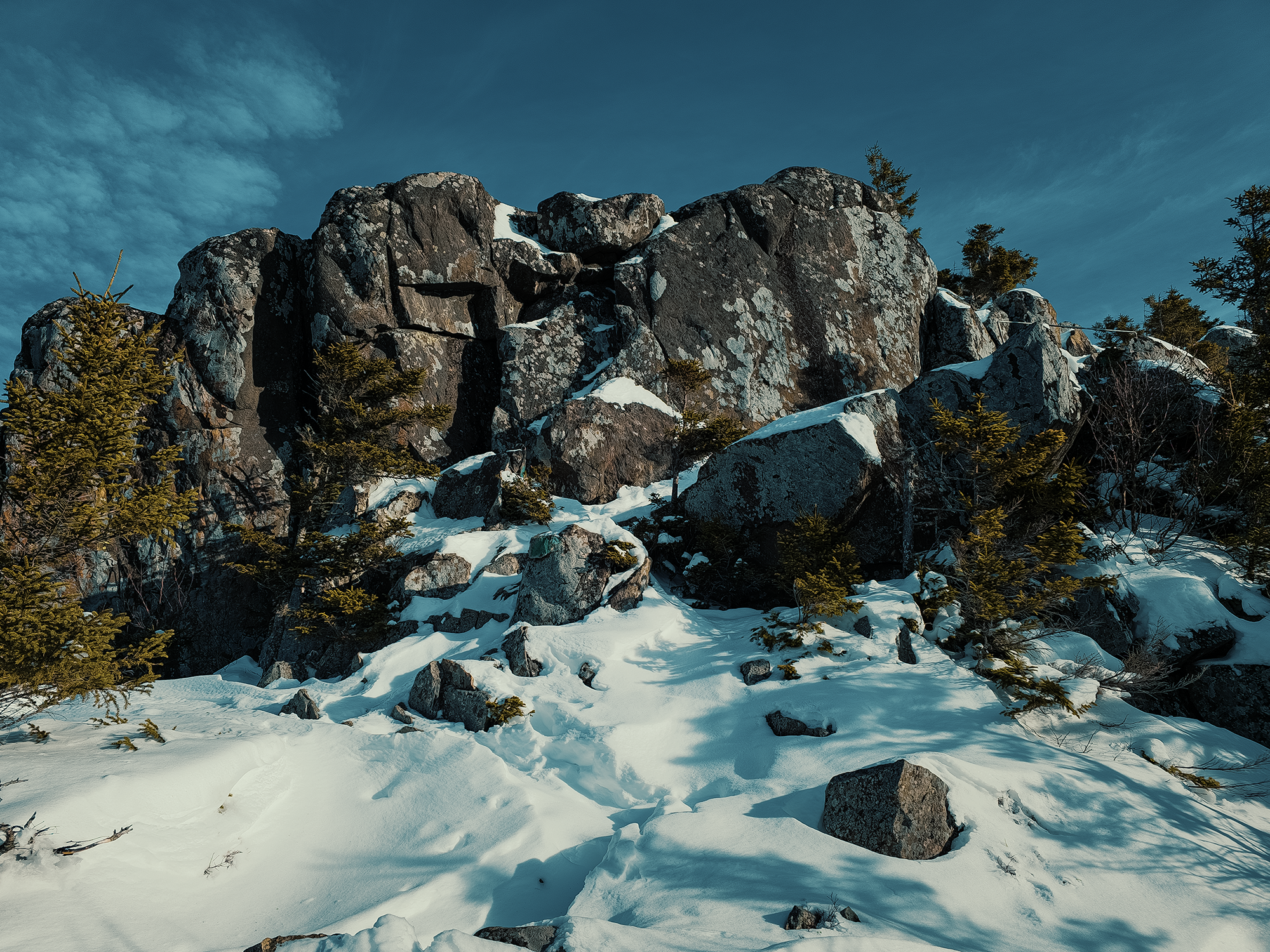
West Peak
After a few minutes, I worked out a route that allowed me to reach less icy ground; a few minutes after that, I reached the West Peak. From here, I looked “behind me” to see Sunset Pond at the base of Peregrine Ridge. When I resumed hiking toward the East Peak, I saw some things that I’d never seen before.
Robert Thomas Moore, the one-time owner of Borestone, maintained a fox pelt farm on the mountain. And later, in the 1980s, the Maine Audubon Society facilitated peregrine falcon rehabilitation efforts nearby. I mention both of those things because just past the West Peak, I came across scenes that looked like they’d been ripped from a nature documentary:
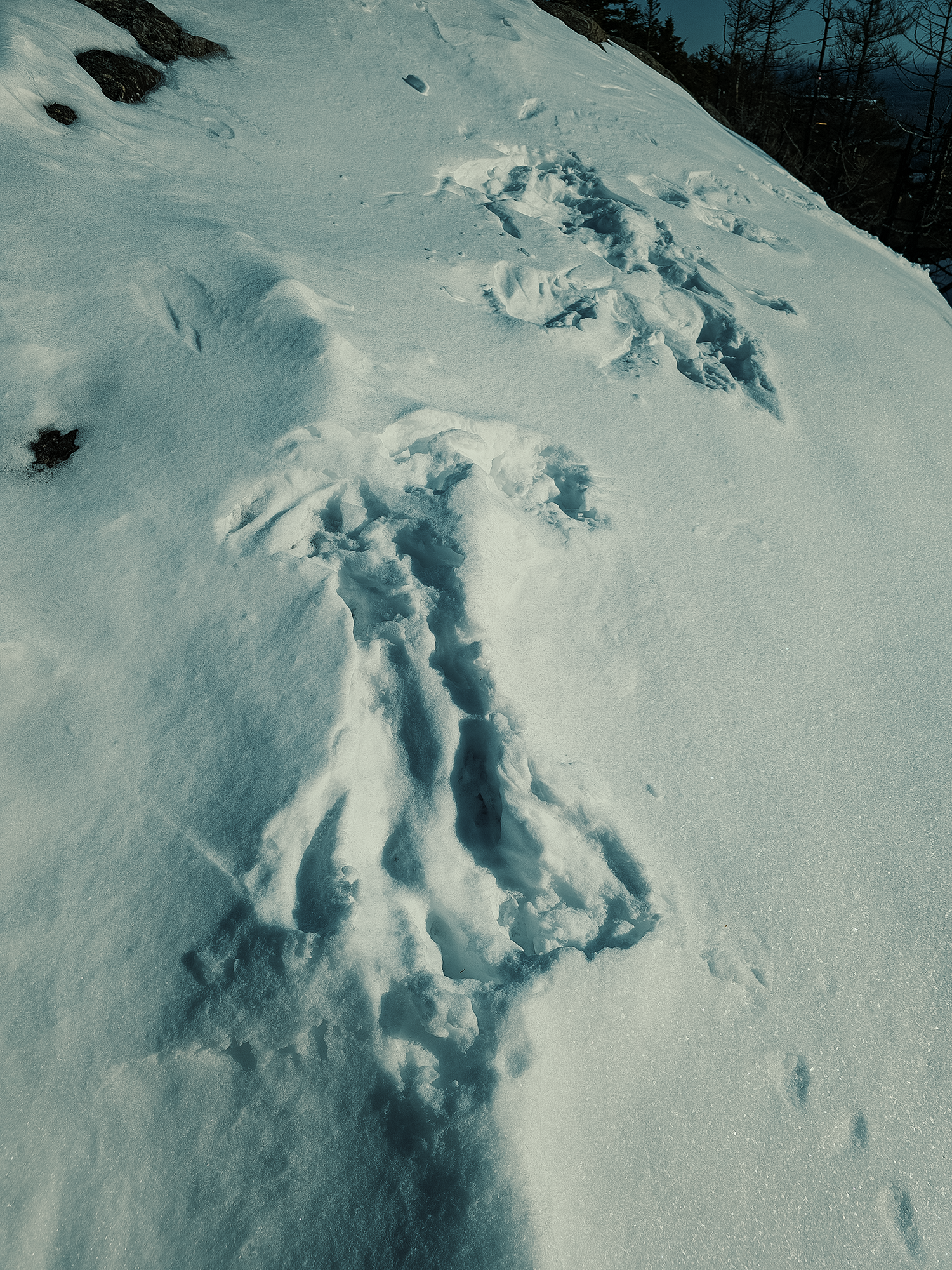
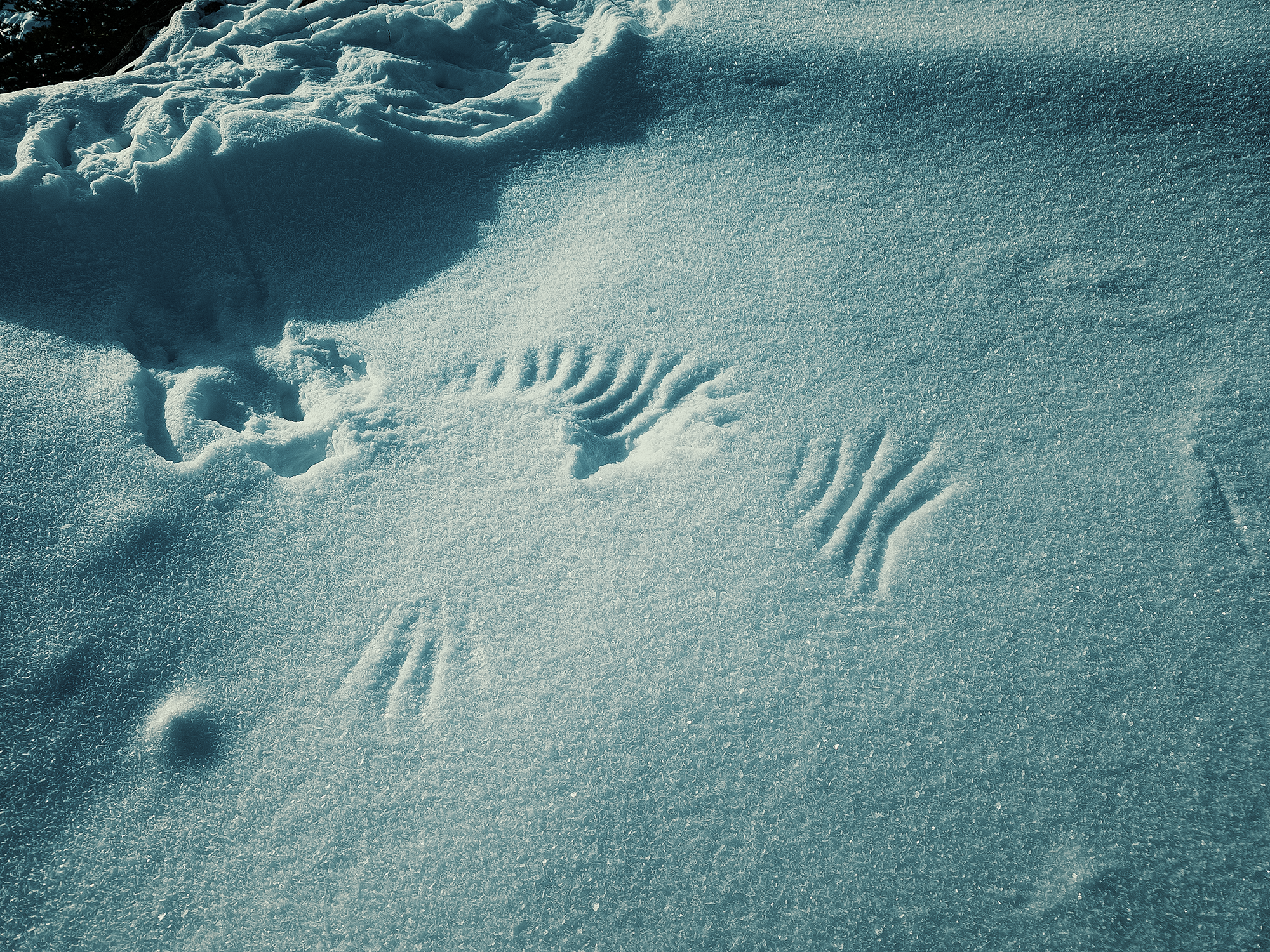
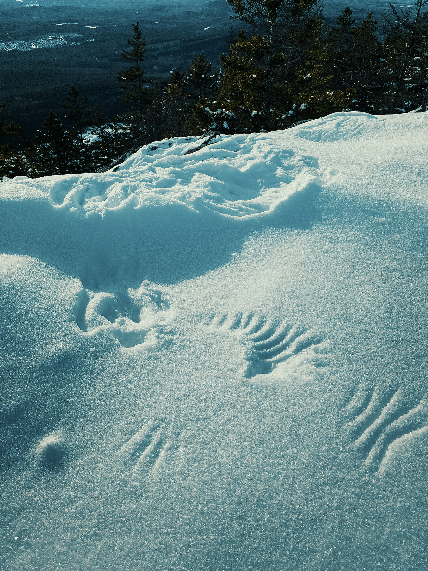
In the first of the three images above, I think a fox—possibly a descendant of one of Moore’s foxes—was hunting a mouse or some other small animal hiding beneath the snow! It looks like it took a few tries: each imprint suggests that whatever animal made them had to leap from point to point in his or her efforts.
In the second two images, I see wing imprints where a peregrine falcon (maybe?) swooped down on an unsuspecting meal burrowing through the snow. Both sets of prints looked relatively fresh, but I don’t know if they were concurrent, or if one took place before the other, or if, perhaps, both happened to hunt the same quarry at the same time! And maybe it’s none of the above, but I’m grateful I got a chance to see these “proofs” of wild animals’ presence through such lively vignettes.
Past the West Peak, on the way down the trail toward the East Peak, I had to slide on my hinder parts down a steep rock. When there’s no snow obscuring things, it’s usually simple enough to find some kind of hand- and footholds.
Not today!
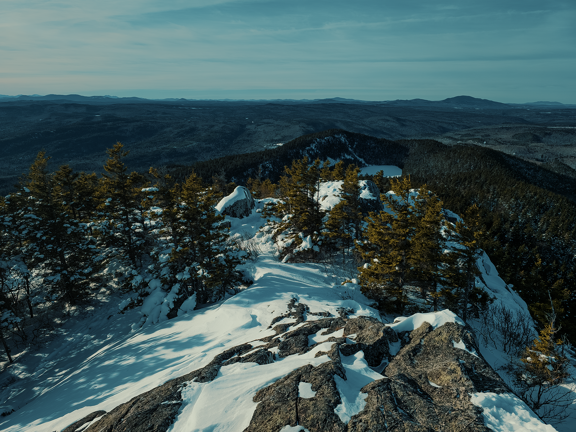
Descending the West Peak and ascending the East Peak usually only takes fifteen to twenty minutes, give or take, and I don’t think today was much different. There’s a thick pocket of firs between these peaks that minimizes snow accumulation, so it remains pretty simple to hike through. Not long after that, I started up the rocks that form the East Peak.
East Peak
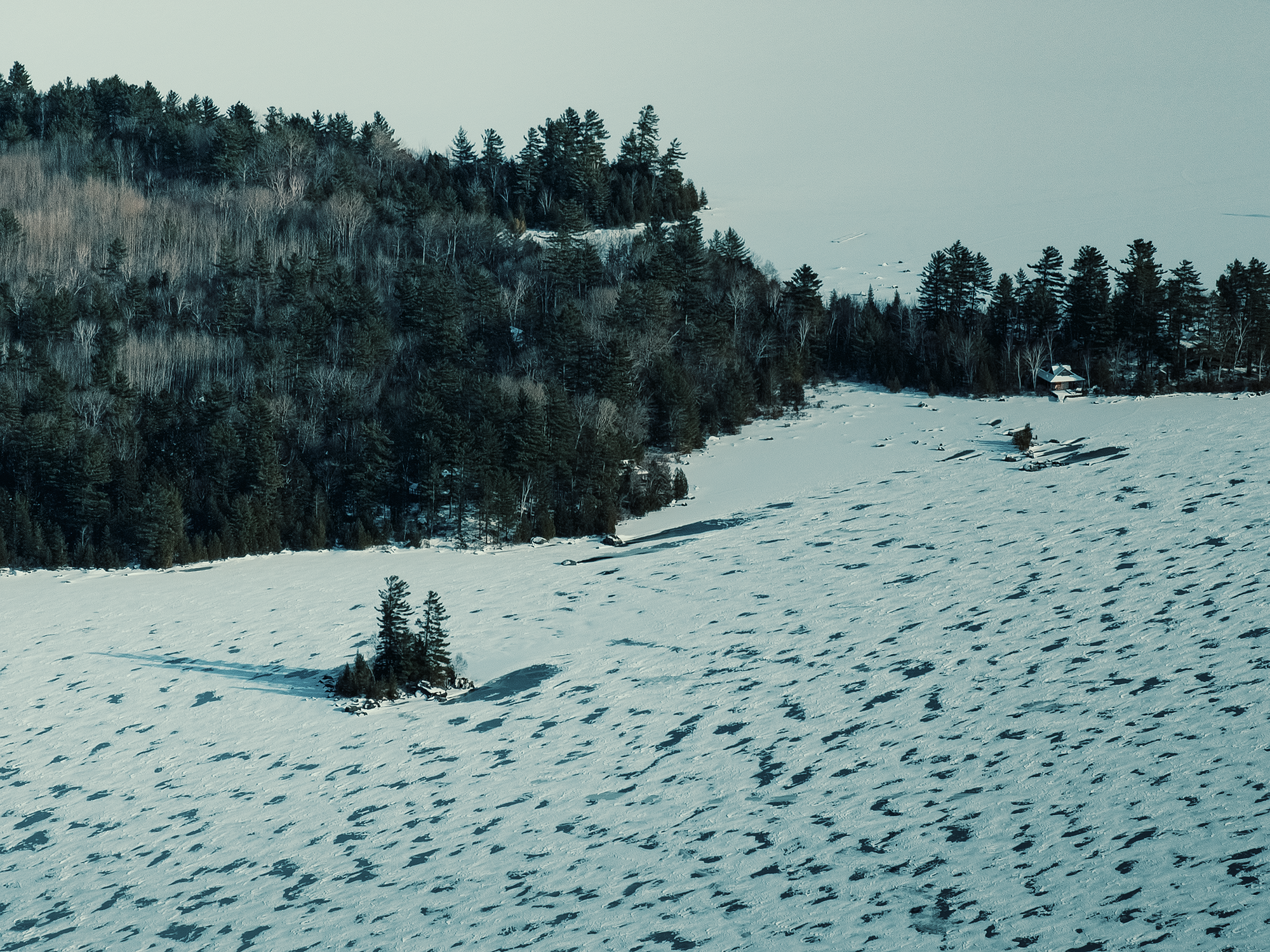
I don’t think I’d ever seen Lake Onawa frozen before! I don’t know how thick the ice was—probably not terribly thick—but clearly the wind had blown the snow around its surface: you can see exposed ice in one of the images below. You can also see the island where I spent the night the previous summer!
While at Borestone’s summit, I snagged some more drone footage. I think the shots of the sides of the mountain look particularly striking. And while I typically prefer not to be in my own shots, I think the orange speck that represents me lends a sense of scale that’s sometimes easy to overlook. Today was relatively clear—there might not have been any clouds at all, or at most a few small wisps high overhead, so I spent a minute looking toward Sebec in the southeast, and Barren Mountain toward the northeast.
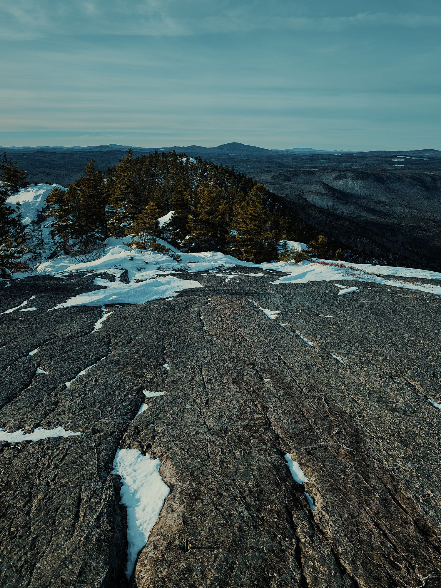
After I finished with the drone, I packed it up again and started down the trail. Despite it being just past 13:30 hrs, the sun already felt like it was well past its zenith! Granted, Maine isn’t as far north as Greenland or Alaska, but it’s north enough that the earth’s axial tilt—and the angle of the sun—has more effect on “temporal perception” than it does in North Carolina. I took one last photo looking back toward the West Peak:
I read somewhere that because of its lower angle, the sun passes through more atmosphere up here, tinting the sky subtly “redder” than “normal.” That makes, say, not quite 14:00 hrs feel like 16:00 or 17:00 hrs!
After passing the West Peak, I slipped many times on my way down!
Many. Times.
I think at least a few of those made it into the video’s final cut. Other than that, I reached the Visitor Center after a while (I can’t remember at what time). That’s when I called Dad for a ride home: we figured by then it would take him about as much time to get back to the parking area as it would take me to do the same.
While I was on the phone, I saw one other person hiking up from the Base Trail, or possibly the access road. I think each of us was surprised to see anyone else up here today! Since he was ascending at, oh, let’s say sometime between 14:30 and 15:00 hrs, I wonder what kind of light he had on his way down?
I reached the parking area at almost the very moment Dad arrived! I’m honestly surprised our timing was so spot-on.
Hiking Borestone in the winter had a paradoxically familiar and alien feel. So many of the “usual” elements seem altered by different shapes and colors. I don’t know when I’ll make it back to Maine when there’s snow on the ground, but I’d like to do this hike again when there’s even more accumulation. And maybe I’ll bring a pair of snowshoes.
Catch the whole adventure on YouTube! Please consider subscribing (if you haven’t already). Thanks for stopping by!
Pingback Hiking Borestone Mountain (ME)