After borrowing my sister’s kayak to paddle out to a tiny island in Lake Onawa (Maine), I got the bug to go kayaking down in North Carolina. I haven’t been able to get out on the water as often as I’d like, but hopefully I can fix that this coming summer. Today, we intended to paddle not quite 7 mi down the Deep River, past the point of confluence between the Deep and Haw Rivers and into the Cape Fear River.
It gets hot down here in the summer. And humid! (Mom hates visiting in the summer because of that—can’t say I blame her!) Anyway, despite the exquisite combination of blistering heat and one billion percent humidity, I convinced a couple guys to kayak a stretch of North Carolina’s Deep River with me toward the end of June. (Here’s a link to a brochure with a number of different floats along different sections of the Deep River. Well worth a look!)
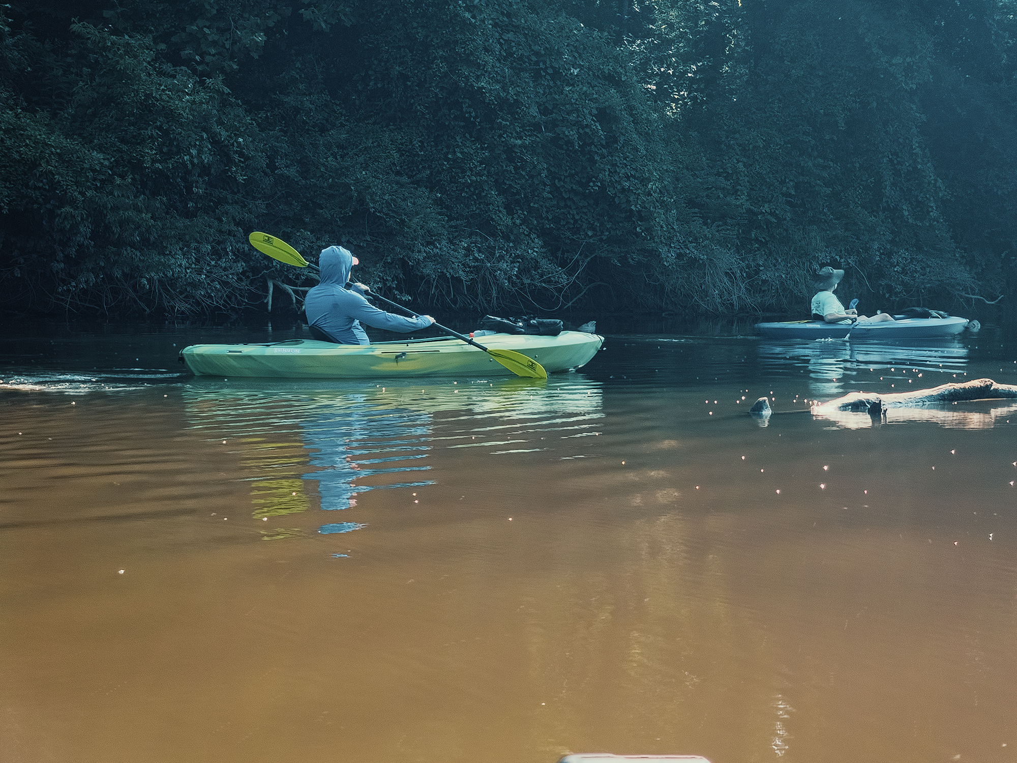
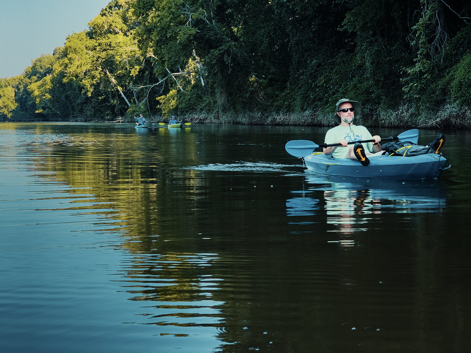
Chip B., Matt M., and I met up with Zack B. at the Avents Ferry launch to set up our shuttle, then drove back down US 1 S and…just parked on the side of the highway off of Exit 78 (I think). It felt wrong just to leave the truck there, but that’s more or less how it goes! From here, we lugged the kayaks—and Zack B.’s stand-up paddleboard—to the river and put in under US 1.
Deep River
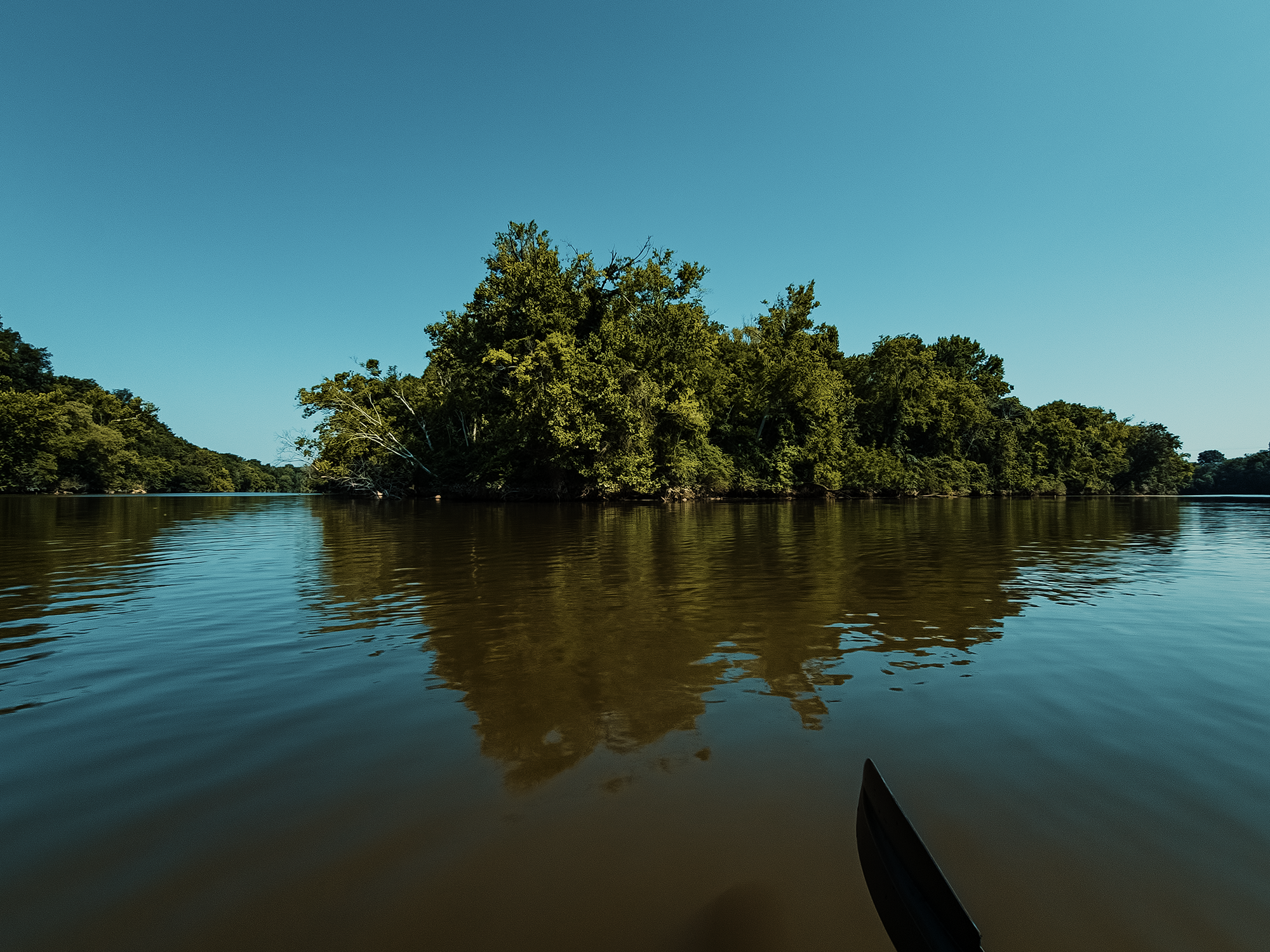
I won’t pretend otherwise, but the Deep River—at least today—was pretty nasty-looking. Hazy, chocolate-brown water with almost no discernible movement, nestled between banks of sediment-crusted leaves. That all stems from fluctuations in the river’s gauge (stage) and discharge rate: things I barely know anything about. I think the discharge rate today was around 250 cubic feet per minute (cfm)—maybe just shy of that—and the gauge was around 1.7 ft. (A couple of days later, I think the discharge rate was over 1,600 cfm, and the gauge was more like 8 ft!)
The Deep River gets its name from the configuration of its banks, not the depth of its waters. The name likely comes from the Siouan-Catawban word Sapponah, which might have referred either to the region as a whole or its people—including the Saponi, who likely inhabited North Carolina’s Piedmont region.
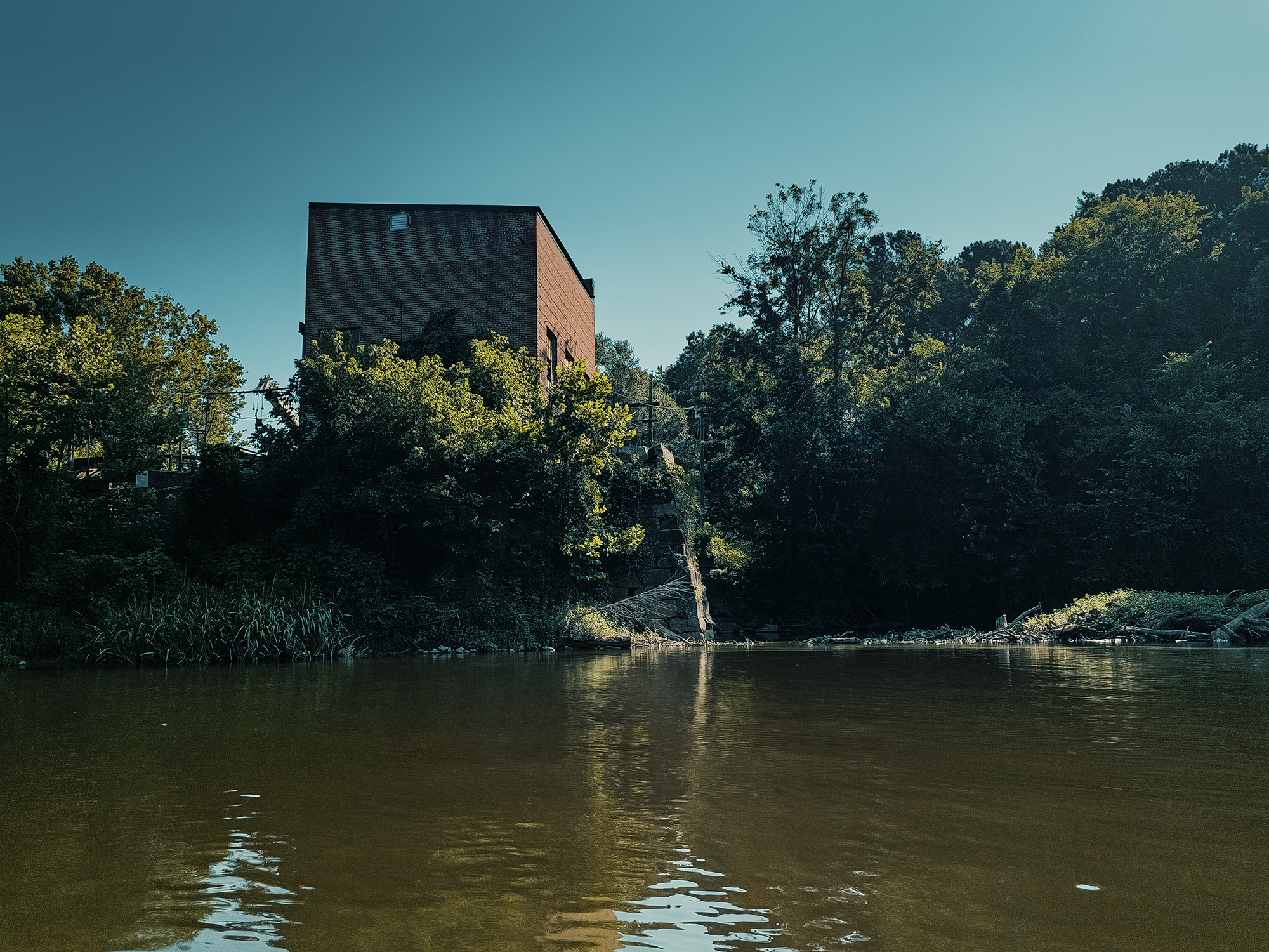
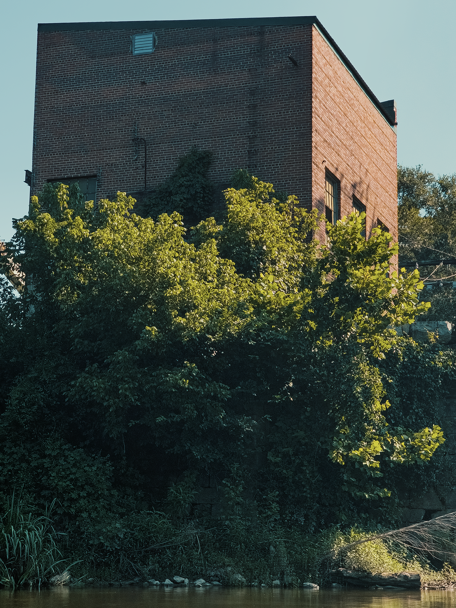
One of the first “sights” we paddled past (just over 2/10 mi) was the remains of the Lockville Powerhouse, originally built in the mid-19th century, although the present structure was constructed in 1922. Between 1922 and 1962, the powerhouse (and the associated dam, above where we put in) generated 1.3 MW. After a brief hiatus, power generation resumed from 1983 to 2020. By 2023, what was left of the dam was breached, and as far as I’m aware, there are no plans to repair it. In fact, it seems the general trend is to remove many of the dams along the Deep and Cape Fear Rivers for various reasons.
Here and there, half-submerged logs bobbed up and down in the water; again, had the river been a little higher, it’s likely we wouldn’t have seen anything, or at least not as many. At one point, I saw a turtle soaking up the sun on one of these logs, but he bailed into the water before I could snap a decent shot!
I think somewhere in here, I realized that I’d forgotten to insert an SD card into a second camera (mounted to the nose of my kayak). Oh no! Anyway, other than blocking some shots here and there, I think I managed enough coverage. I don’t use that camera very often (anymore), but hopefully next time I’ll remember to both charge its batteries and feed it storage media!
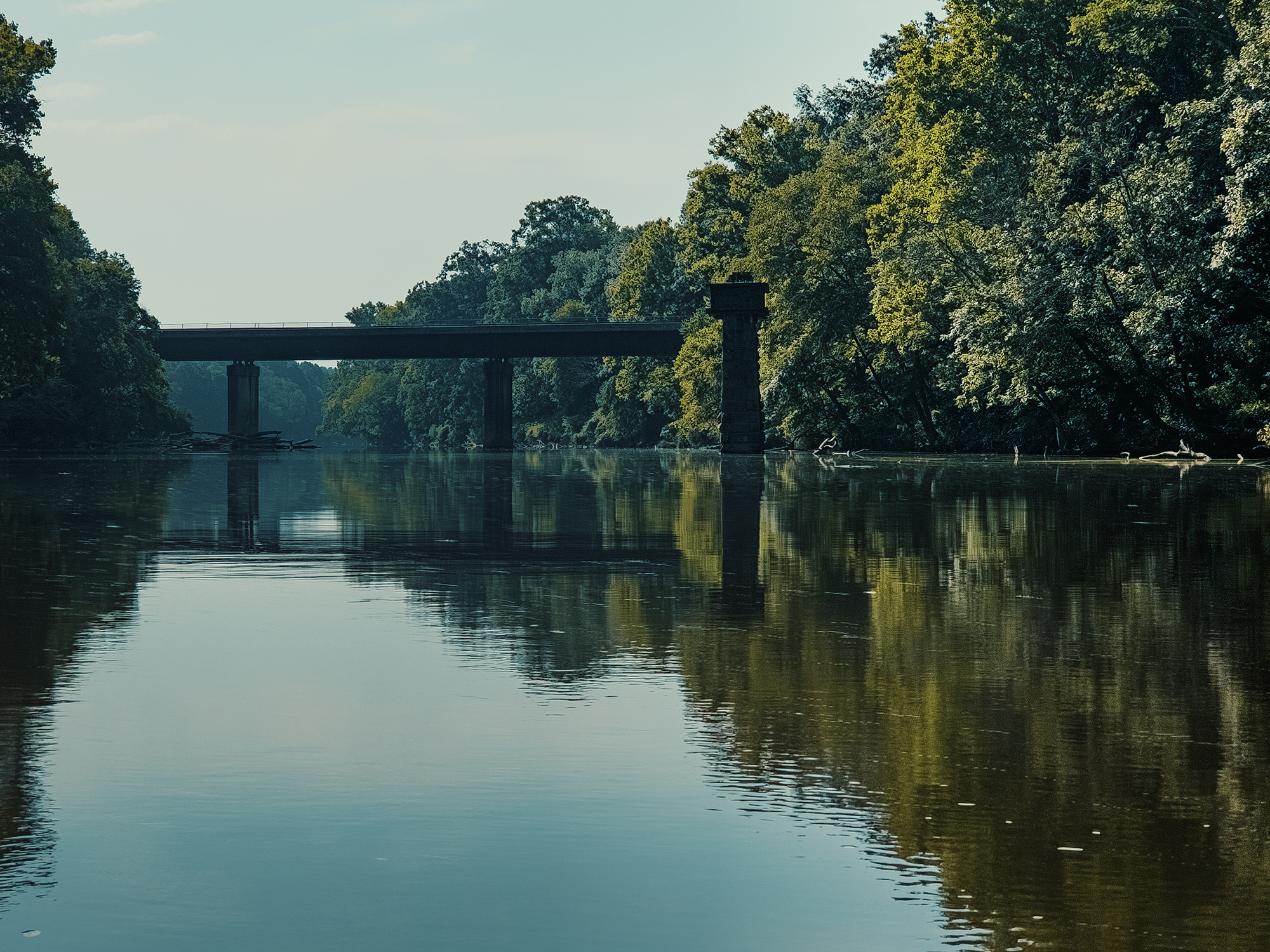
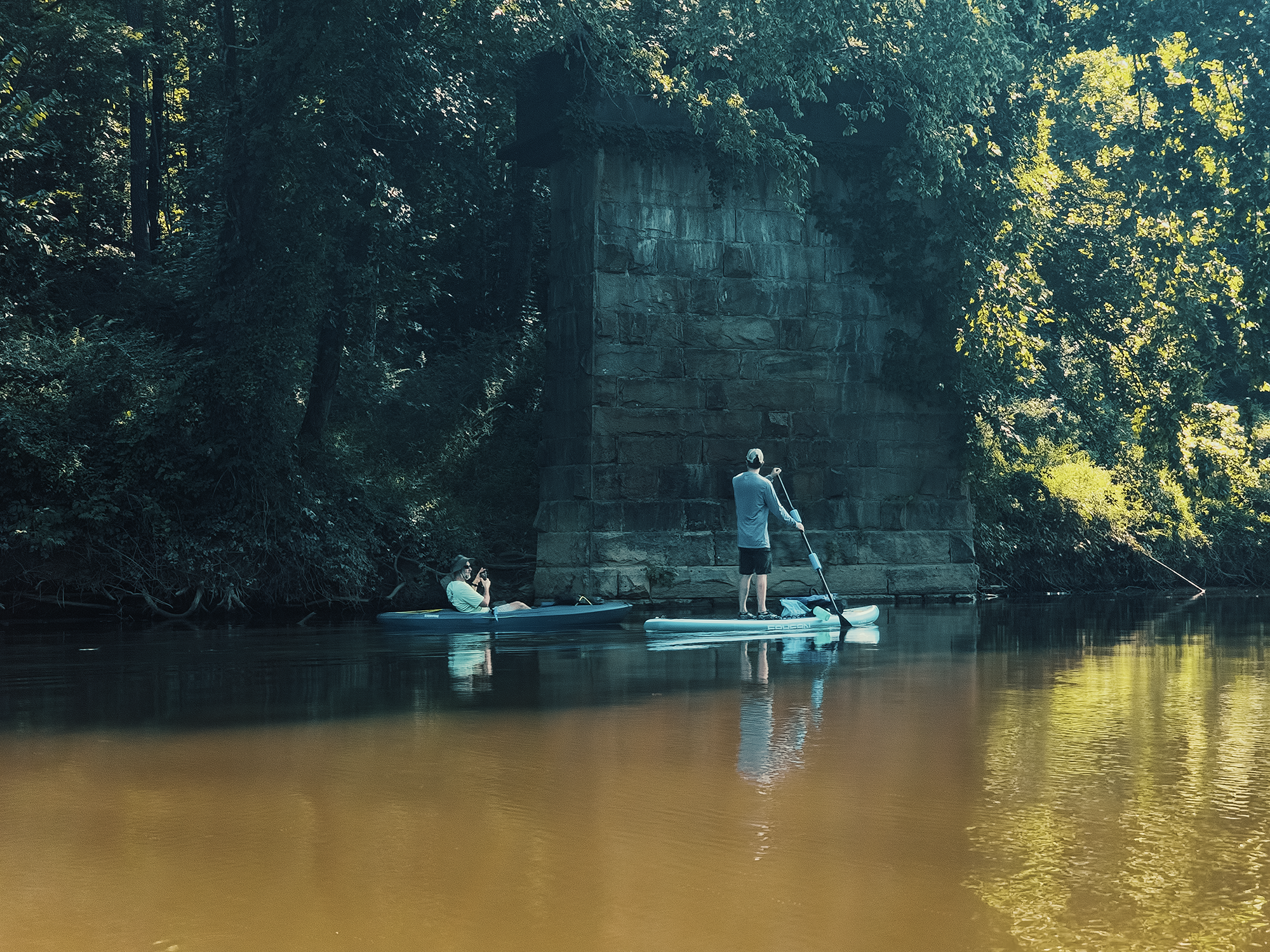
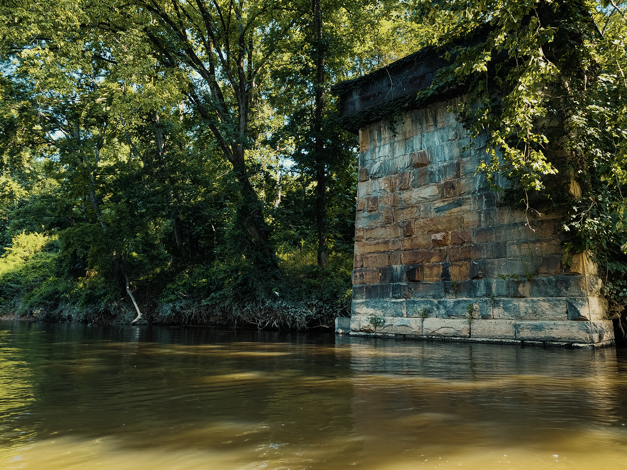
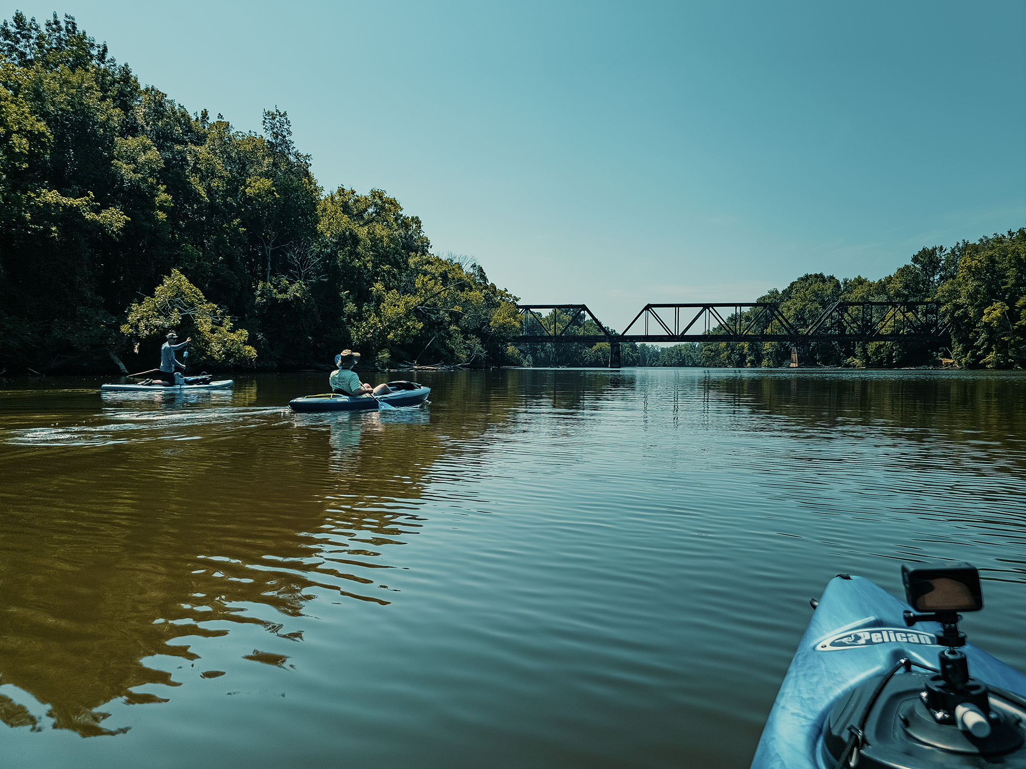
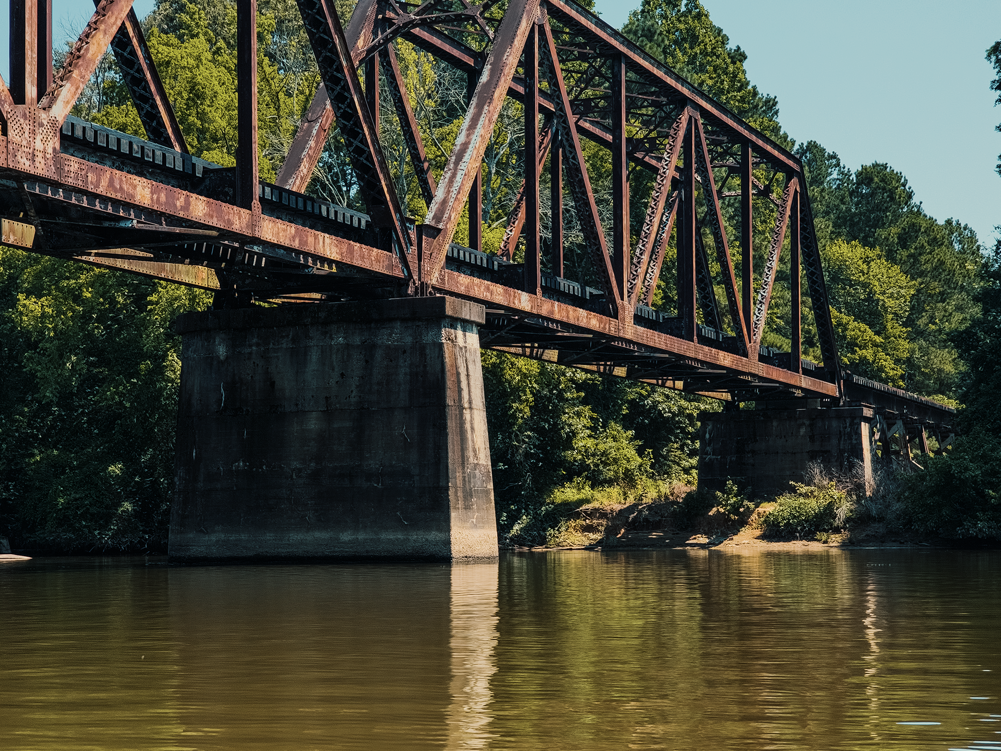
Soon after, at just over 6/10 mi, we paddled toward what remains of an old rail bridge (and the current rail bridge, likely belonging to Norfolk Southern). It’s pretty cool to see these towering concrete pillars jutting up from the water. Normally I don’t think too much about the engineering required to keep things from falling into the river, but from this perspective, it’s hard not to.
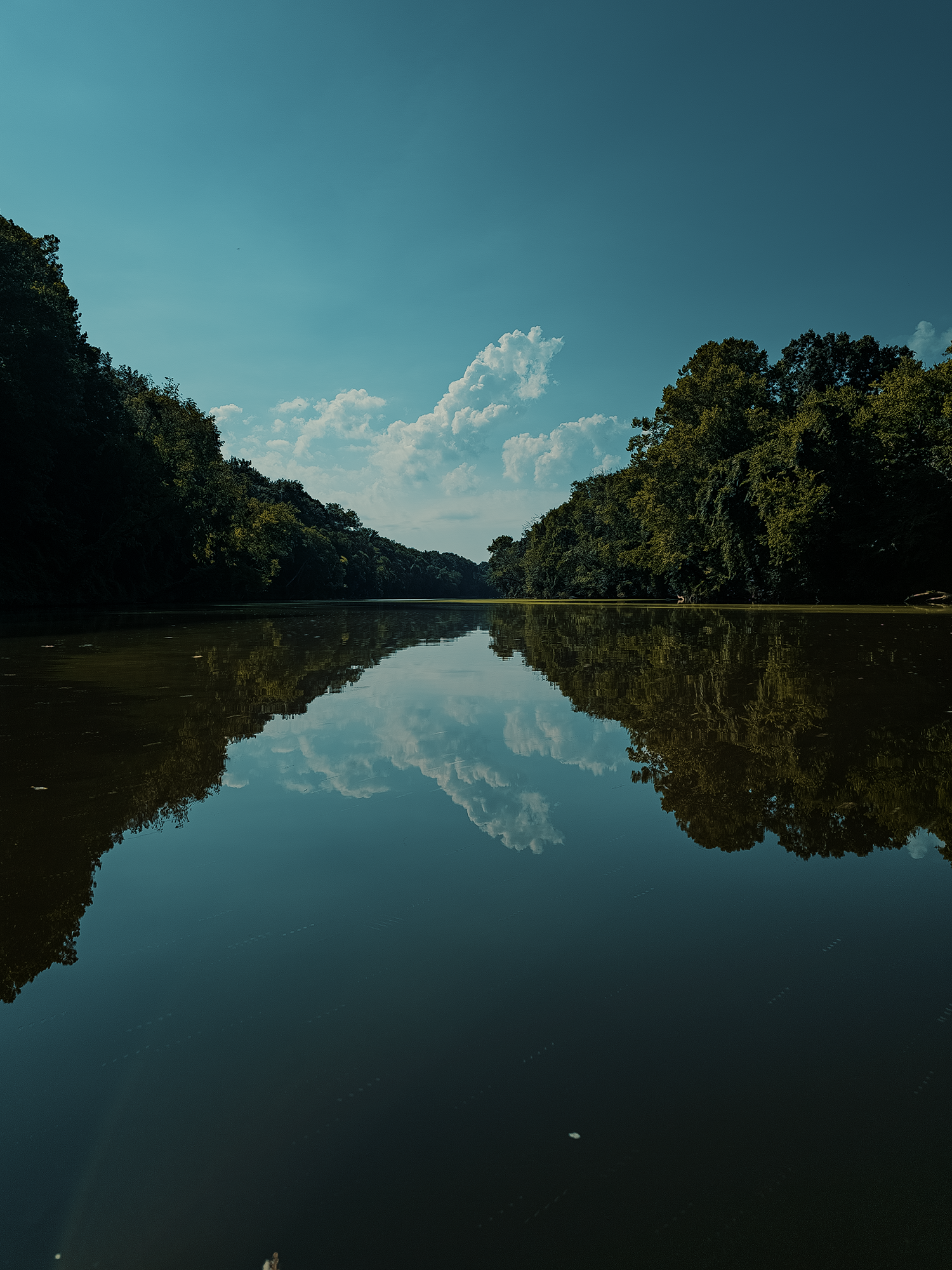
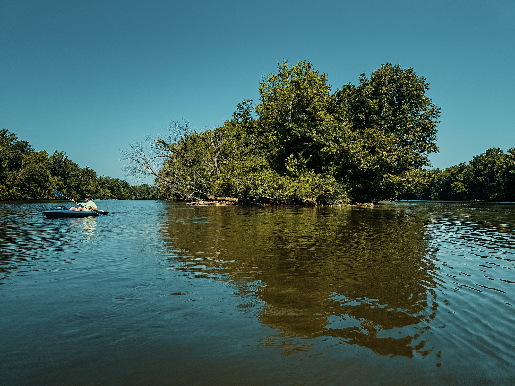
Over the next 2.3 mi (not quite 3 mi total), we just enjoyed the quietude afforded us by the river—although maybe around here is where Chip B. called me out. I told him the river would do most of the work, that he’d barely have to paddle. Well, that turned out to be, uh, inaccurate! I think I alluded to it earlier, but there was practically no motion on the water today. The Deep River felt more like a long, narrow lake than anything.
This stretch is where I came across what I would later learn is a “trot line,” something I hadn’t heard of prior. Apparently it’s more of a southern thing, but people will sometimes place a series of lines along a stretch of water and tend them periodically. Not knowing any better, I pulled one up and discovered a catfish at the end. Freaked. Me. Out. I let the line go (without touching the catfish!) and we continued on our way.
I did make the mistake of posting evidence of my crime, and I was roundly castigated for it. Again, I didn’t know! But c’mon: if you’re a clown from New England who’s never heard of such a set up, and you see a bright pink line hanging from a tree over the water, are you really just gonna leave it alone?!
Well, from now on: yes, yes I am.
Mermaid Point
Our next “stop” along our route was Mermaid Point, a spit of land that briefly separates the Deep and Haw Rivers before they merge and become the Cape Fear River. I referred to Mermaid Point in my Raven Rock video (Raven Rock State Park is about 12 mi, maybe 13 mi south of here). In fact, I first heard about Mermaid Point when I was researching points of interest near Raven Rock. I had hoped we’d be able to beach the kayaks and explore the area by foot, but as you can probably gather from the video footage, that didn’t happen!
Maybe—like me!—you’re wondering: Why this place is called Mermaid Point? We’re nearly 200 mi from the Atlantic (via river) here! Yes, we are nearly 200 mi away from the ocean—and, according to legend, that’s largely key!
In the 1740s four Scotsmen received “land patents” that included this area. This is also the place where a man named Ambrose Ramsey opened a tavern along the banks of the Deep River. Before the construction of the Buckhorn Dam (below us), this point was a long white sandbar: legend has it that after a night at Ramsey’s tavern, as people made their way home, they often encountered mermaids laughing, singing, and splashing about as they washed their hair. Of course, “everyone” back then knew mermaids preferred fresh water for maintaining their tresses. If anyone got too close or called out to these sirens, they quickly disappeared beneath the river’s surface. It’s possible that once the Buckhorn Dam became operational, it prevented the mermaids from returning to Mermaid Point: sightings ceased soon after. I mean, that sounds reasonable, right?
And maybe—just maybe—it’s worth pointing out that most of these sightings occurred on the way home from the tavern…
McKay Island
I don’t know what I expected to see at Mermaid Point, but I’ll admit feeling underwhelmed at the sight of, well, trees. It’s a reminder to me that many historical episodes and anecdotes transpired in places that—today—look thoroughly normal.
We paddled another 2 mi, maybe a little more, once we got past Mermaid Point, down the Cape Fear River. Along the way, we passed under another railroad trestle, likely used by CSX.
About 5 mi into our trip, we reached McKay Island, which is about 65 acres, maybe 1/2 mi long, and is one of two islands with any appreciable footprint between Mermaid Point and the Atlantic Ocean. (The other is Eagles Island, about 3,100 acres, and much closer to Wilmington.)
I couldn’t find much information on this island, but what I did find is peculiar in its own way. In 1852, on maps, the island was named Hawkins Island, likely from a landowner or drawn from an early survey; in 1853, the island had no name! The earliest recorded reference to this place as McKay Island seems to date from 1908, and there’s apparently no surviving explanation for the name change.
Avents Ferry
After about one last mile, we reached Avents Ferry. Today’s Avents Ferry likely started out as a native peoples’ water crossing, possibly used by the Sissipahaw, Keyauwee, and Ocaneechi as part of a larger trade or hunting network. (I mentioned the Keyauwee briefly during our Uwharrie hike.)
By the mid- to late-1700s, the Avent family, under the headship of Thomas Avent, Sr., operated a ferry here.
Records don’t confirm the exact site, but in March of 1781, Revolutionary general Nathanael Greene, after his “defeat” by Lord Cornwallis at Guilford Courthouse, might have used this crossing as part of his calculated retreat.
I’m not as familiar with Revolutionary War history as I’d like to be, but while researching this location, I discovered that General Greene often made use of Fabian battle tactics, similar to those employed by George Washington. Such tactics favor delaying direct engagement with a superior force while simultaneously diminishing its ability—or its will—to fight. Disrupting supply lines or making use of guerilla-like raids, for example. (The term “Fabian” comes from a Roman general named Fabius Maximus, who developed his tactics during the second Punic War against Carthage.)
Lord Cornwallis might have technically won the battle at Guilford Courthouse, but his victory was pyrrhic at best, and while he did operate in this region for a while—demonstrating the importance of control over water crossings—he ultimately returned to the north…
The sights themselves might not have been the most impressive thing about today, but I still appreciate the opportunity to paddle past the places where local legends—and maybe even America itself (in some small way)—find their genesis. We kayaked just shy of 7 mi today: the Deep River (and the Cape Fear) consist of so much more than that! Looking back at that brochure I linked earlier, I already have some ideas for additional floats down portions of the Deep River.
Catch the whole adventure on YouTube! Please consider subscribing (if you haven’t already). Thanks for stopping by!
Pingback Spending the night at Raven Rock State Park (NC)