
Brian D., Andy L., and Matt M. and I drove up to Shenandoah National Park on Friday, thinking we’d set up camp, hike Robertson and Old Rag Mountains on Saturday, then Whiteoak Canyon on Sunday before heading home.
That’s not how it happened!
All the radar said heavy rain on Sunday. I think each of us constantly refreshed the weather, hoping for better news, but none came. I thought we’d have to bail on Whiteoak Canyon, but once we reached Berry Hollow Friday afternoon, we discovered we had time to knock it out, so that’s what we did. We opted to risk our parking spot, hike into and out of Whiteoak, then up the Berry Hollow Fire Road and hope for the best. (It all worked out!)
Whiteoak Canyon
There’s a separate parking area for Whiteoak Canyon about 1 mi or so from the Berry Hollow parking area. We parked, stopped at the little check-in booth, then headed into the canyon. Maybe I shouldn’t have been so surprised to see so many people on the Whiteoak Canyon Trail—it was a gorgeous day for it, despite a few late-season mosquitos!
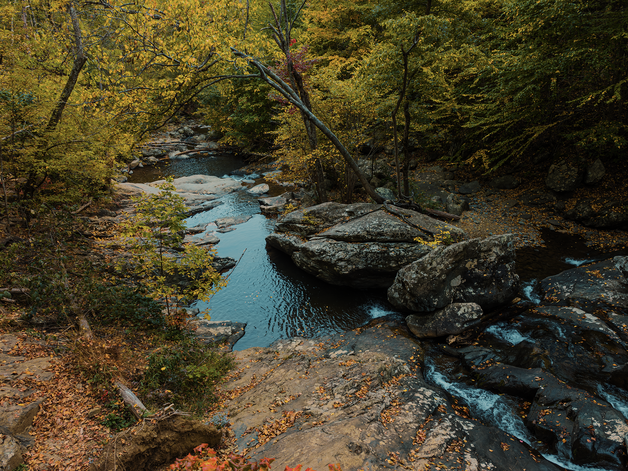
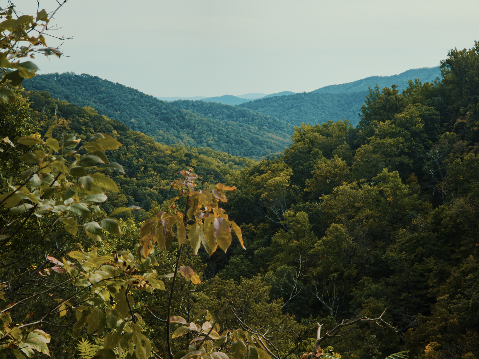
Whiteoak Canyon frames the Robinson River between greenstone cliffs. Metamorphic greenstone resists weathering better than, say, igneous granite on account of its internal crystalline structure. While both possess a similar hardness value (somewhere between 5 and 6, I think), granite tends to fracture along predictable cleavage lines while greenstone’s lattice resists such behavior.
As we hiked, I took note of several stone stairways built by the Civilian Conservation Corps (CCC) ca. the 1930s. Like in other places throughout Shenandoah (particularly Old Rag, which we’ll get to!), the CCC likely formed these stairways for a few reasons: 1) to prevent unnecessary erosion on steeper slopes, and 2) to prevent slips and falls along the same.
Starting out on the Whiteoak Canyon Trail, there aren’t a lot of switchbacks, but as you get deeper—and higher—into the canyon, they’re more frequent, starting in earnest around 1.5 mi in. That’s also where you reach Lower Whiteoak Falls.
Whiteoak Canyon Falls #6
The first major waterfall we spotted was Lower Whiteoak Falls, also known as Whiteoak Canyon Falls #6. That was unique, I thought (especially when compared with, say, Gulf Hagas in Maine): most of these falls are numbered rather than named.
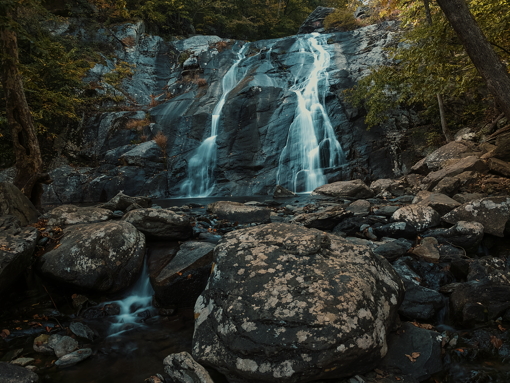
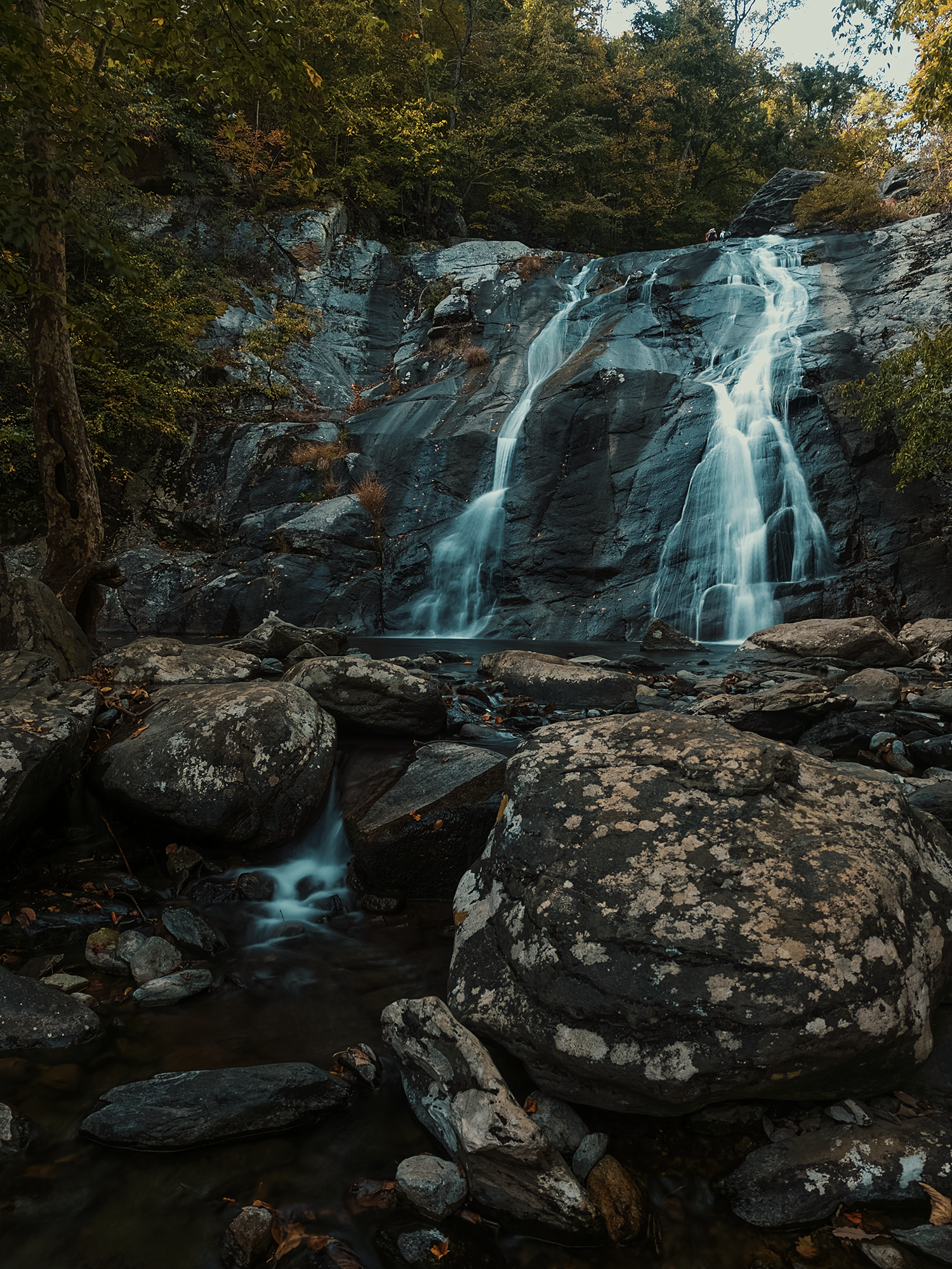
After exploring Lower Whiteoak Falls, we continued up the trail toward the upper falls. In some places along the trails in Shenandoah, it’s the loose rocks that’ll make you stumble: here, it’s all the acorns!
It makes sense: this place is called Whiteoak Canyon, after all! As evidenced by all the acorns, white oaks abound within and above the canyon! The superficial root systems of these trees help hold the soil in place, while their deep taproots keep the trees from succumbing too readily to wind and weather.
Regarding trees, prior to, say, the 1980s, Whiteoak Canyon was also known for its eastern hemlocks, but with the arrival of the invasive hemlock woolly adelgid, that changed. These pests have destroyed most of the eastern hemlock population, not just in Shenandoah but throughout much of the southeast. Today, most of the “hemlocks” you’re likely to glimpse are gray, dead standing “skeletal” remnants, or rotting trunks resting on the forest floor. The Park Service is currently exploring ways to reduce the impact of the adelgid—there are some surviving trees—through various pesticides and conservation efforts.
Whiteoak Canyon Falls #1
From the lower falls, we hiked about another 1 mi to reach the Upper Whiteoak Falls, a.k.a. Whiteoak Canyon Falls #1. (Falls #2–#5 are scattered closer to the river than the trail, and it seems we missed most of the spurs leading to viewpoints for them.)
These upper falls boast the greatest drop along this run, right around 86 ft. The following photos are from its base, so they don’t capture the cascade in its entirety:
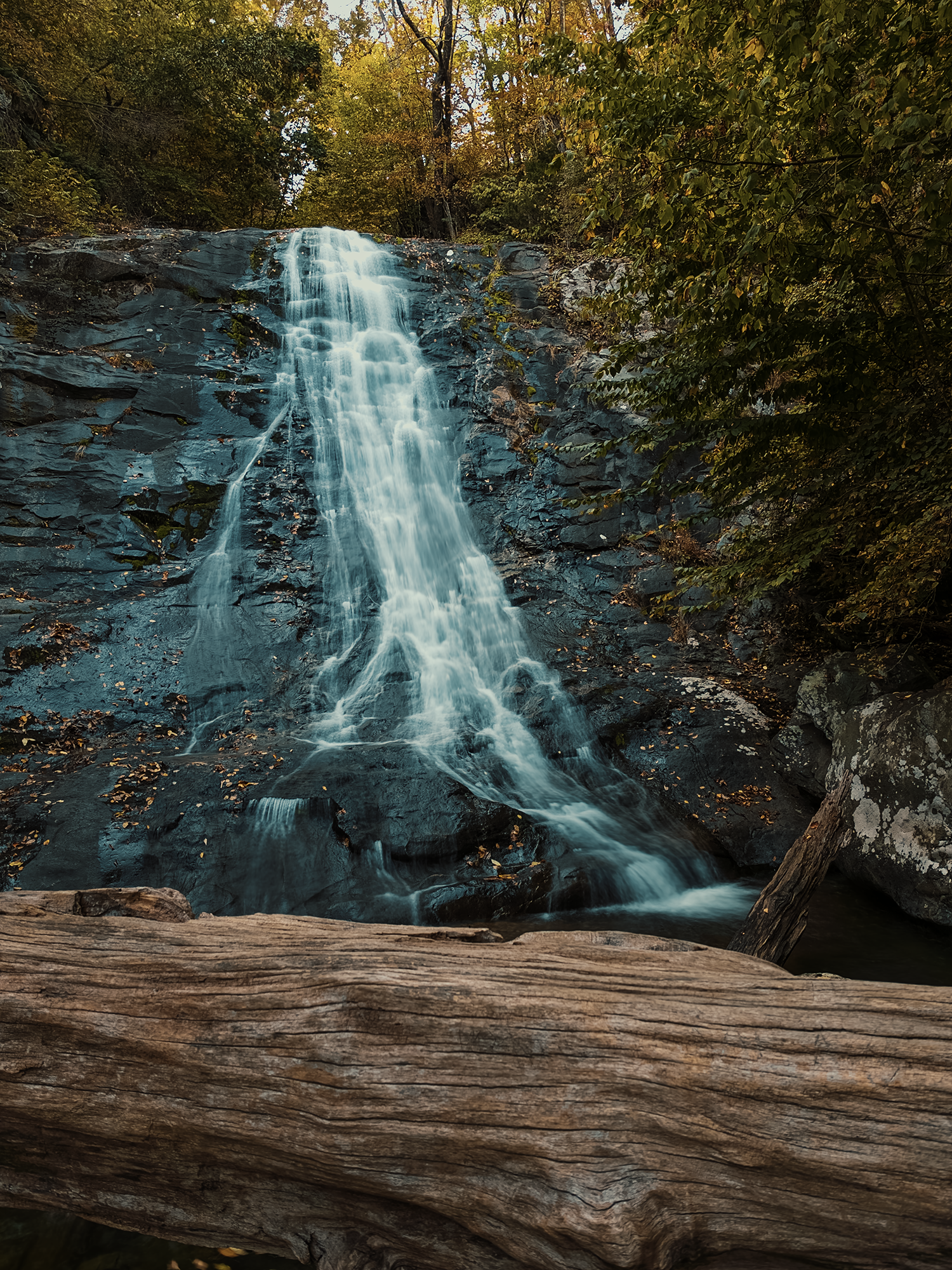
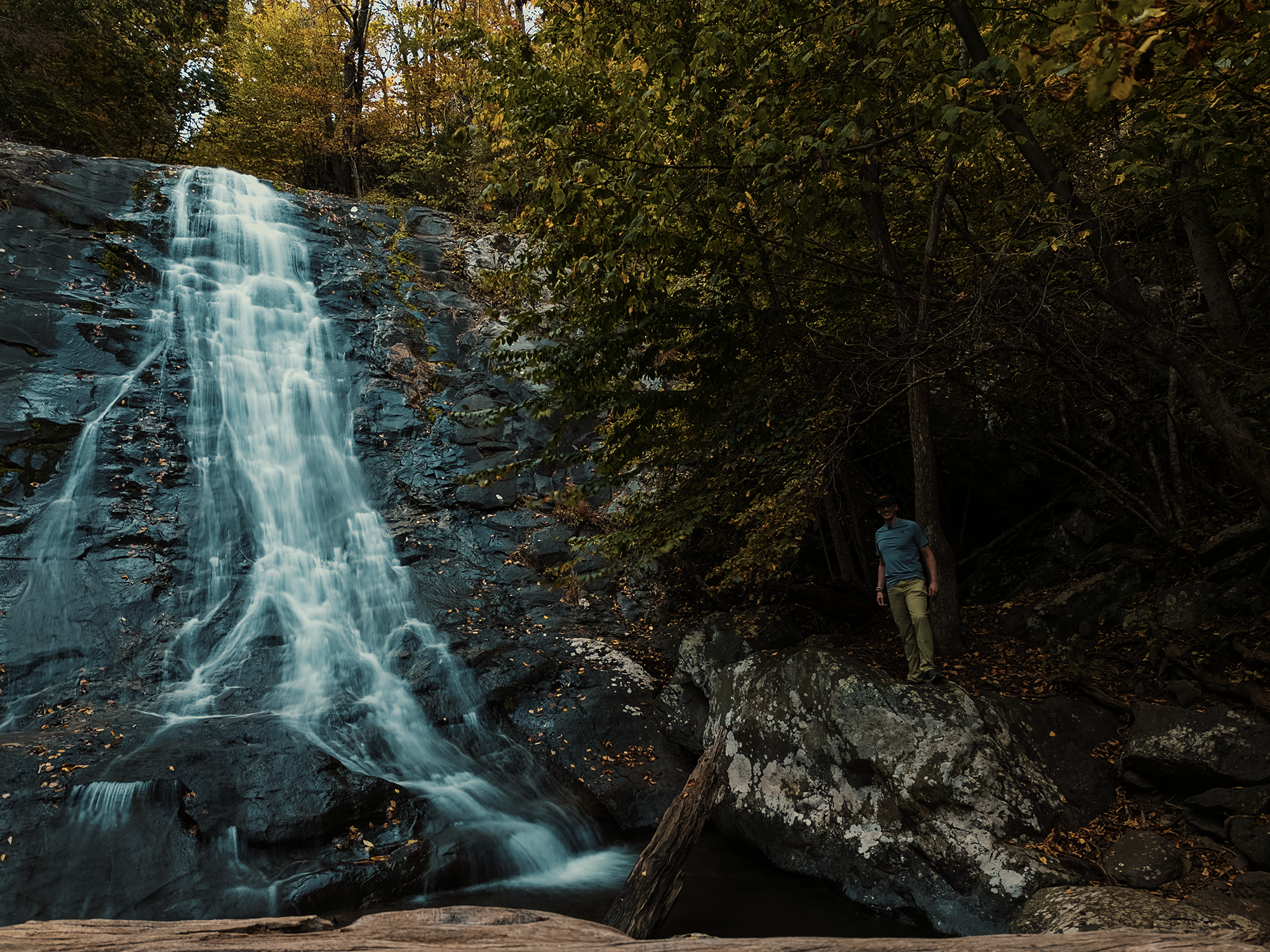
If we’d had more time, we might have opted to continue north on Whiteoak Canyon Trail until we reached the Whiteoak Canyon Fire Road. It seems many people treat Whiteoak Canyon as half of a loop: after turning left onto the fire road, you can take either Skyline Drive or the Skyland Big Meadows Horse Trail to the Cedar Run Trail and follow that back along the Cedar Run until you join back up with the Whiteoak Canyon Trail. That creates a roughly 8 mi loop (depending on whether you hike along the Drive or the horse trail). All things considered, I’m just grateful we managed to sneak in that 5.5 mi out-and-back along Whiteoak Canyon Trail!
Robertson Mountain
When we did reach our campsite after Whiteoak Canyon, we hiked about a mile up Berry Hollow Fire Road, past Post Office Junction (more on that later), and found a good enough spot in the woods off the fire road.
I carried waaay too much stuff: notice how I’m loaded up in the video? Yeah, not my best idea! I think we spent more time searching for a satisfactory tree from which to hang our food bags than setting up our tents, but ultimately, we accomplished both, and spent a little time hanging out by the light of, uh, our headlamps since open fires aren’t permitted out here.
In the morning, an unconcerned white-tailed doe wandered into camp. Reminded me of a similar encounter at Grandfather Mountain a few years back. She didn’t stay too long. After breakfast, we geared up for Robertson and Old Rag Mountains.
Originally, I thought we’d be hiking anti-clockwise, tackling Old Rag first, then Robertson as an excuse to tack on additional miles (and elevation). Matt suggested we’d have a better time ascending the rock scramble on the east side of Old Rag instead of descending it.
On that recommendation, we hiked clockwise, toward Robertson Mountain first. In hindsight, Matt was 100% correct.
We took the Old Rag Fire Road for about 2.3 mi until we reached the Robertson Mountain Trail (RMT). Once on the RMT, the first 1/3 mi is relatively consistent, a gentle-ish uphill that doesn’t feel like a slog, but also doesn’t relent. The next 1/3 mi or so is where the uphill kicks in. Even then, it’s not as rough as I was anticipating! The trail signage at the base of the RMT says it’s 8/10 mi, but I think it’s really just shy of that.
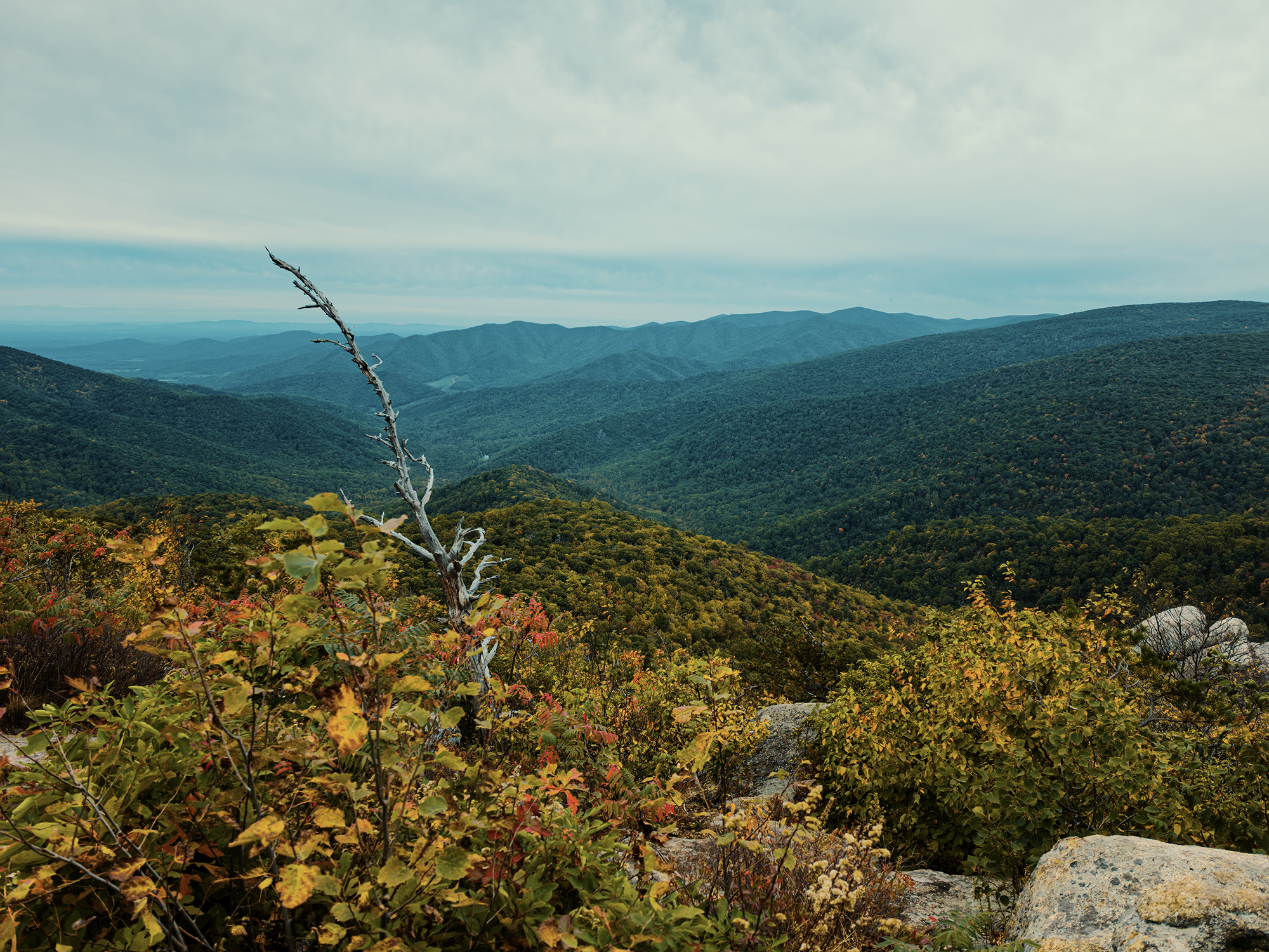
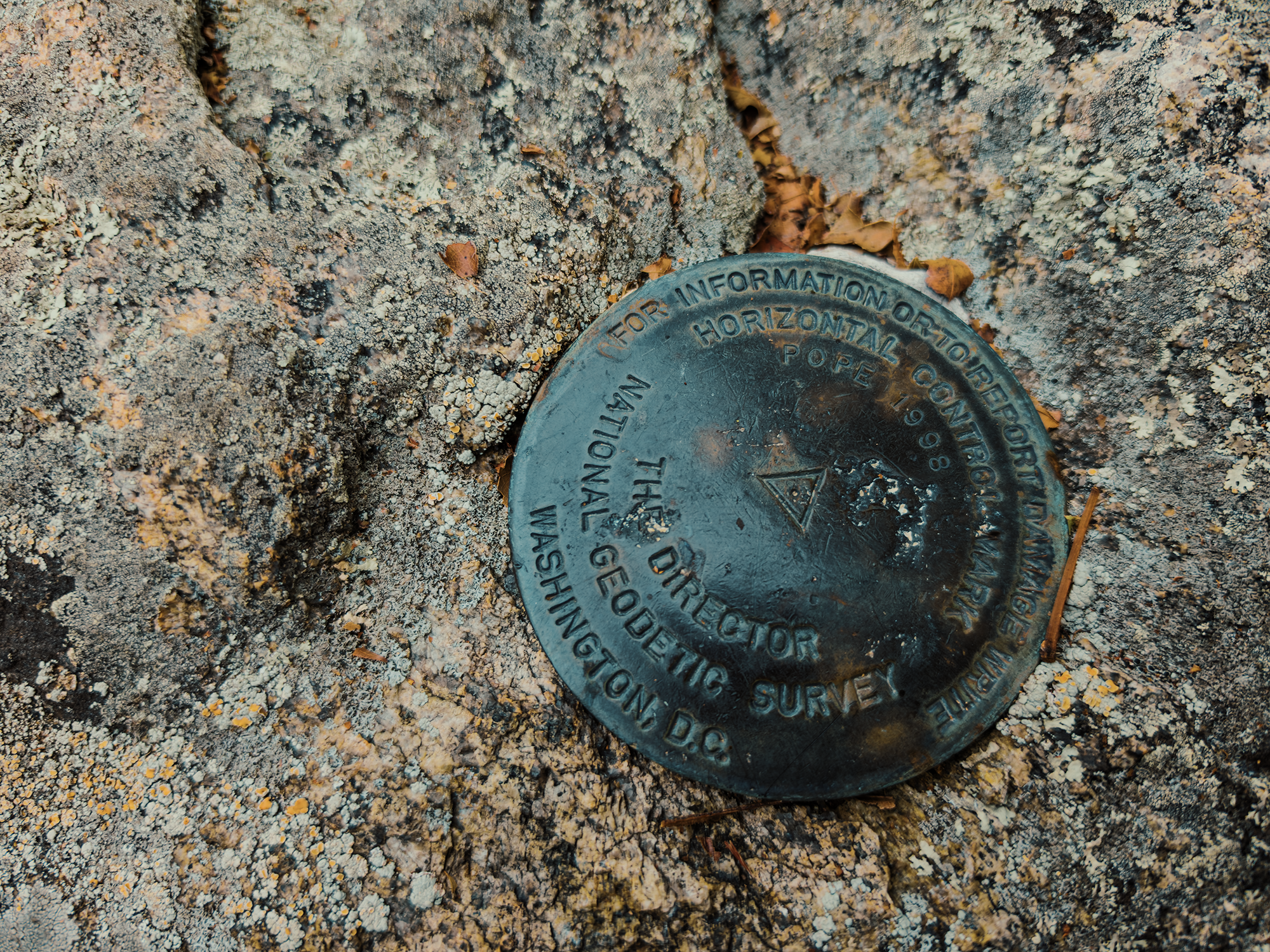
Robertson’s peak is somewhat occluded on one side, but on the other, you do get some pretty great views out over the valley, mostly toward the west (you can see Hawksbill Mountain on the distant horizon).
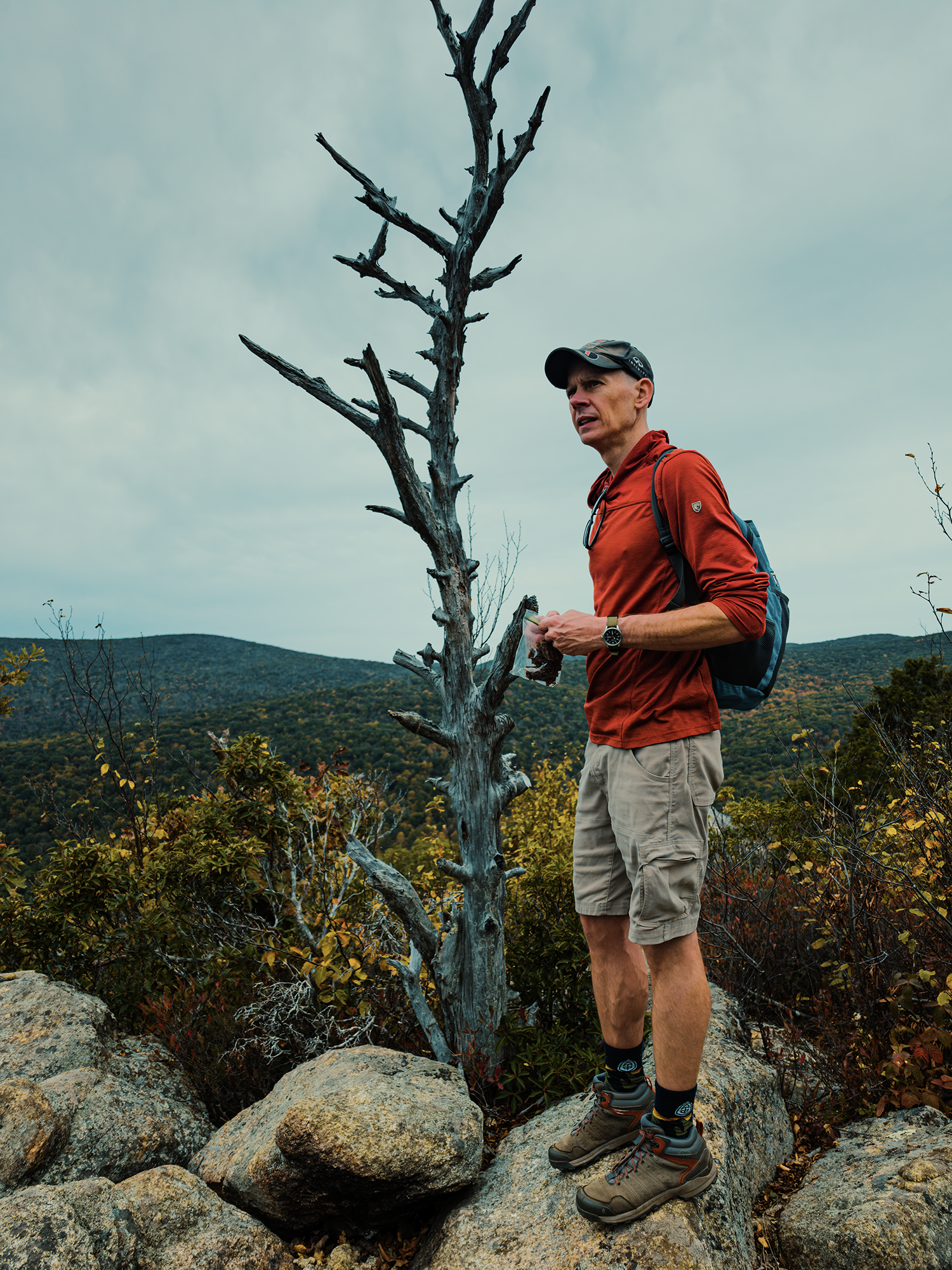

We didn’t stick around too long, although we could have! Seems no one else in the Park had decided to summit Robertson that day. At least, not while we were there. Up here, the sky turned gray—or maybe it had been gray all day and I just realized about now? Either way, weather was the primary reason we were short on time, so we descended the other side of Robertson until we reached the Weakley Hollow Fire Road.
Weakley Hollow Fire Road
Down from the mountain, we turned left onto Weakley Hollow Fire Road (WHFR). Back in the homesteading era, WHFR was the primary travel corridor through the hollows. Of course it probably wasn’t called Weakley Hollow Fire Road back then, but whatever its name, that’s what it’s called today! (Berry Hollow Fire Road would have been a lesser route, but still part of the same overall network.) Compared to the up-and-down on the Robertson Trail and the up-and-down Old Rag promised, I was grateful for the WHFR’s relative flatness!
We stopped for lunch just across Brokenback Run. While we were here, I filtered some water, too, just in case.

It’s about 1.3 mi from the end of the RMT to the start of the Ridge Trail, the ascent toward Old Rag’s summit. These roads started out as wagon routes prior to Shenandoah’s establishment. It’s probable that the Monacan peoples and their neighbors might have used similar routes before the arrival of European settlers to the region.
In some places, the wagon route—the fire road—seems to stop without warning, “pinching in” to become one of the summit trails. From what I could gather, it’s because wagon trails were only useful as such when wagons (and the horses drawing them) could actually use them! Too much elevation and they lost their utility. When Shenandoah repurposed the old hollow routes as fire roads, it seems they adhered to a similar philosophy.
Along the WHFR, I saw what could have been homestead ruins.
Or just some piles of rocks.
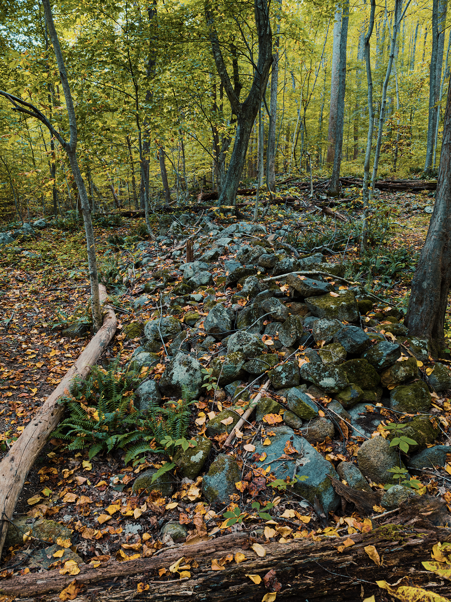
It might be hard to discern from the photo above, but in the video, I tried to capture the square-ness of these arrangements. Again, while I know homesteaders like the Weakleys, the Berrys, the Hilliards, and the Atkins (and others) built homes throughout the region, I can’t say with certainty that these rocks represent one of their actual structures. Still, it’s interesting to hope that’s what this is!
Old Rag Mountain
At the end of that 1.3 mi, we reached a parking area at the foot of the Ridge Trail where Park staff asked about our day-use permits. We had 8 between the 4 of us (oops)! I think we’d hiked just shy of 6 mi so far: we had another 6.5 mi or so to go.
The Ridge Trail
Similar to the RMT, the Ridge Trail (RT) starts out as consistent uphill through (mostly) hardwood cove forests without feeling too aggressive.
Then you hit the first switchback.
The next 1.6 mi or so gets steep quickly! Along the way, however, there are scattered turnouts with views of the valley as it begins to disappear beneath you. I always appreciate that sensation: makes me feel like I’m accomplishing something.
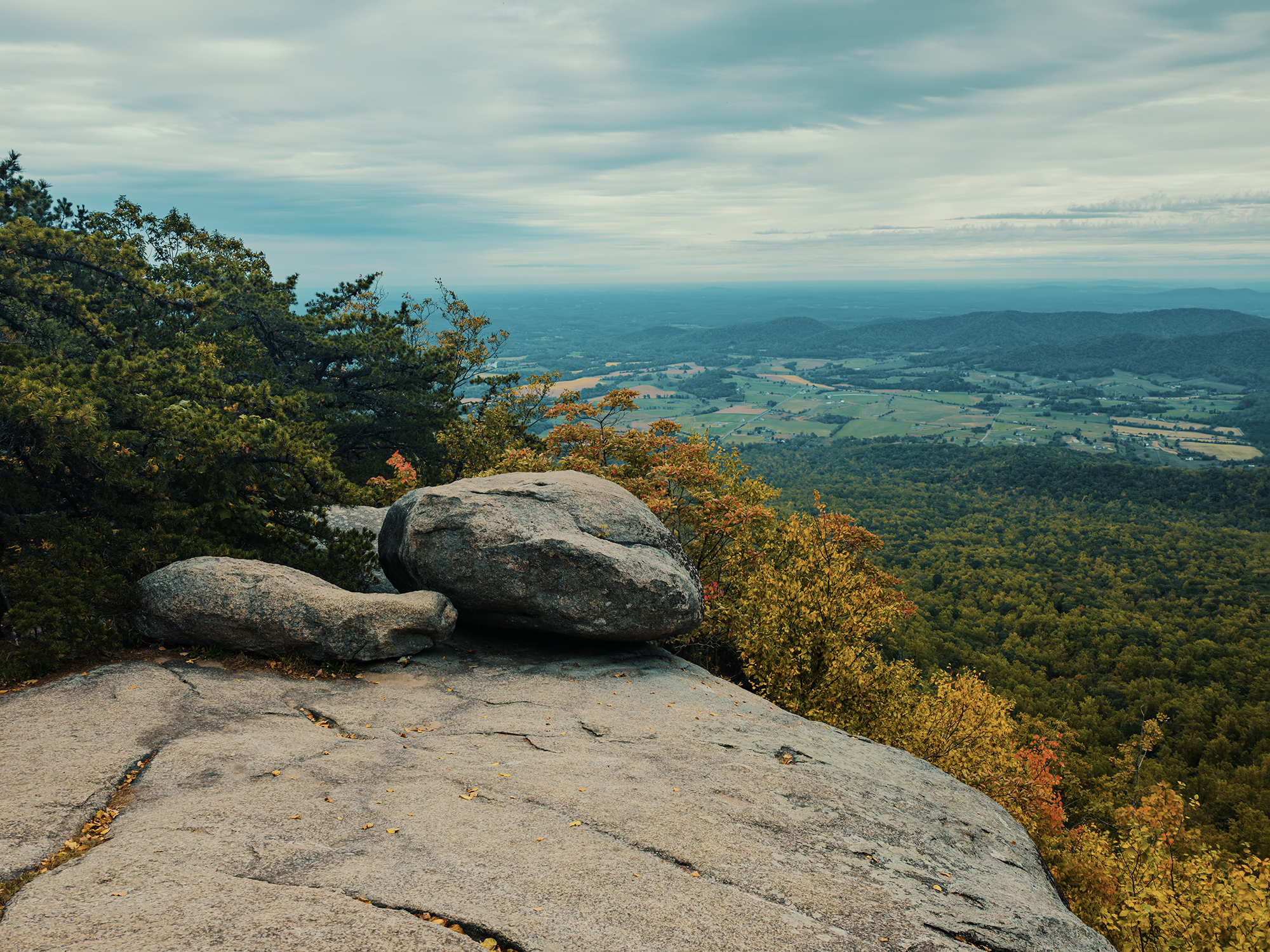
Old Rag is just on the eastern edge of Shenandoah, and I really enjoyed this view over all that farmland toward the southeast:
Maybe 2.3 mi from the start of the RT, we reached the rock scramble.
I love these things!
I wasn’t able to explore the Barren Slide when I last climbed Barren Mountain, but I did get to poke around a little bit of the talus caves between Ragged and Granite Mountains in Maine earlier in the summer. I think I was looking forward to this rock scramble more than any other singular facet of this trip. It really would have been a shame to hike down through it, so thanks Matt! (Also, I think it helps getting through some parts of the trail if you’re twisty!)
I mentioned the CCC in the Whiteoak Canyon section: they were hard at work up here, too, routing trails through these massive granite slabs and boulders in such a way as to minimize the appearance of human intrusion. In some spots, that was unavoidable, but I think they managed to build at least one particular “staircase” in such a way that adds to this section’s overall beauty. (In the video, you can see Matt’s boots from one angle and Andy climbing up from another.)
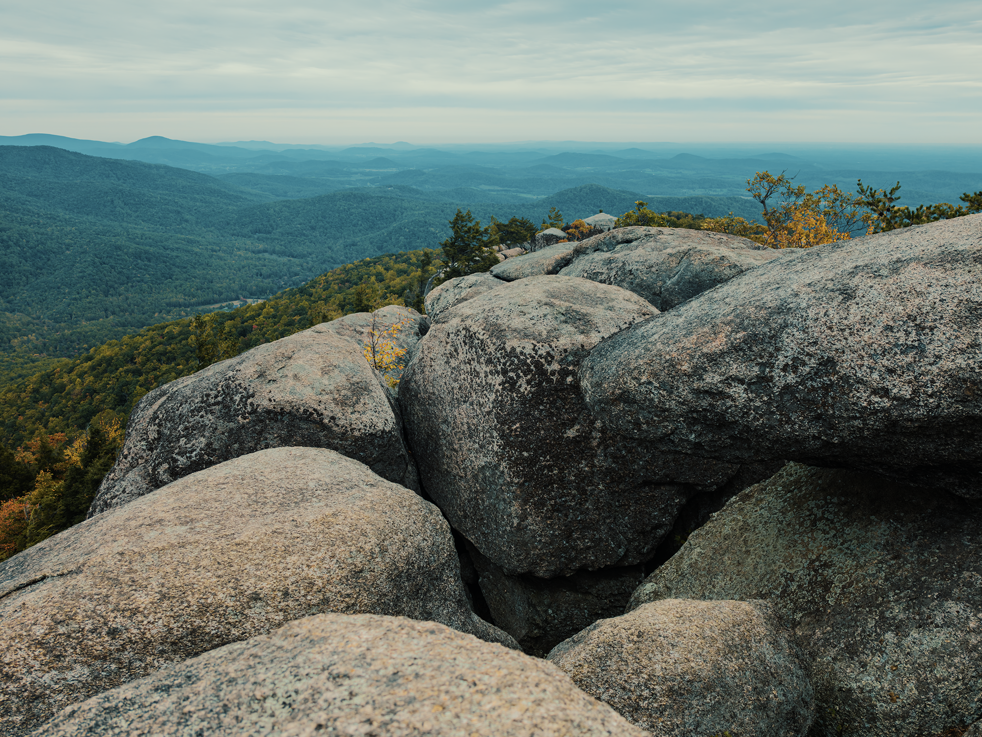
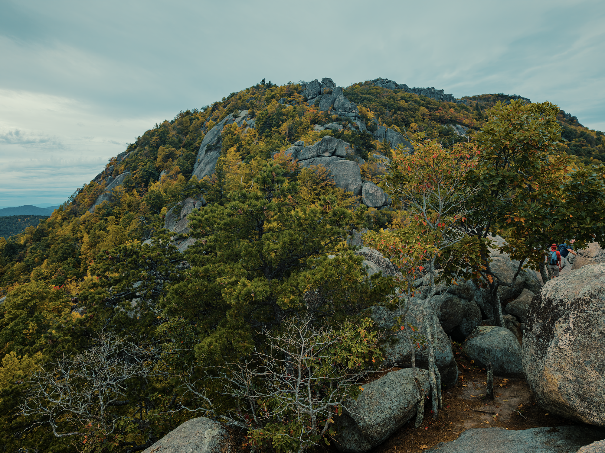

The end of the rock scramble is essentially at Old Rag’s summit. Up here, after climbing up a series of granite boulders, you get 360° views. I don’t know if hiking Robertson in the morning and Old Rag in the afternoon is the smartest way to tackle these peaks, but if you’re going to do both, definitely do it this way: Robertson first, Old Rag second: the payoff is so worth it!
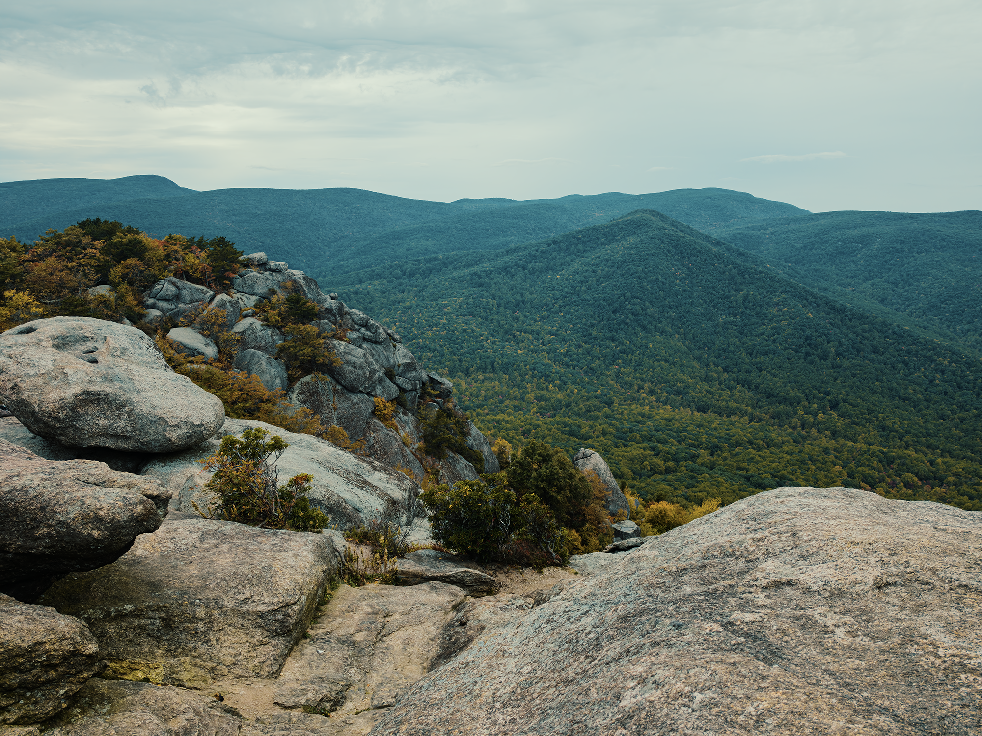
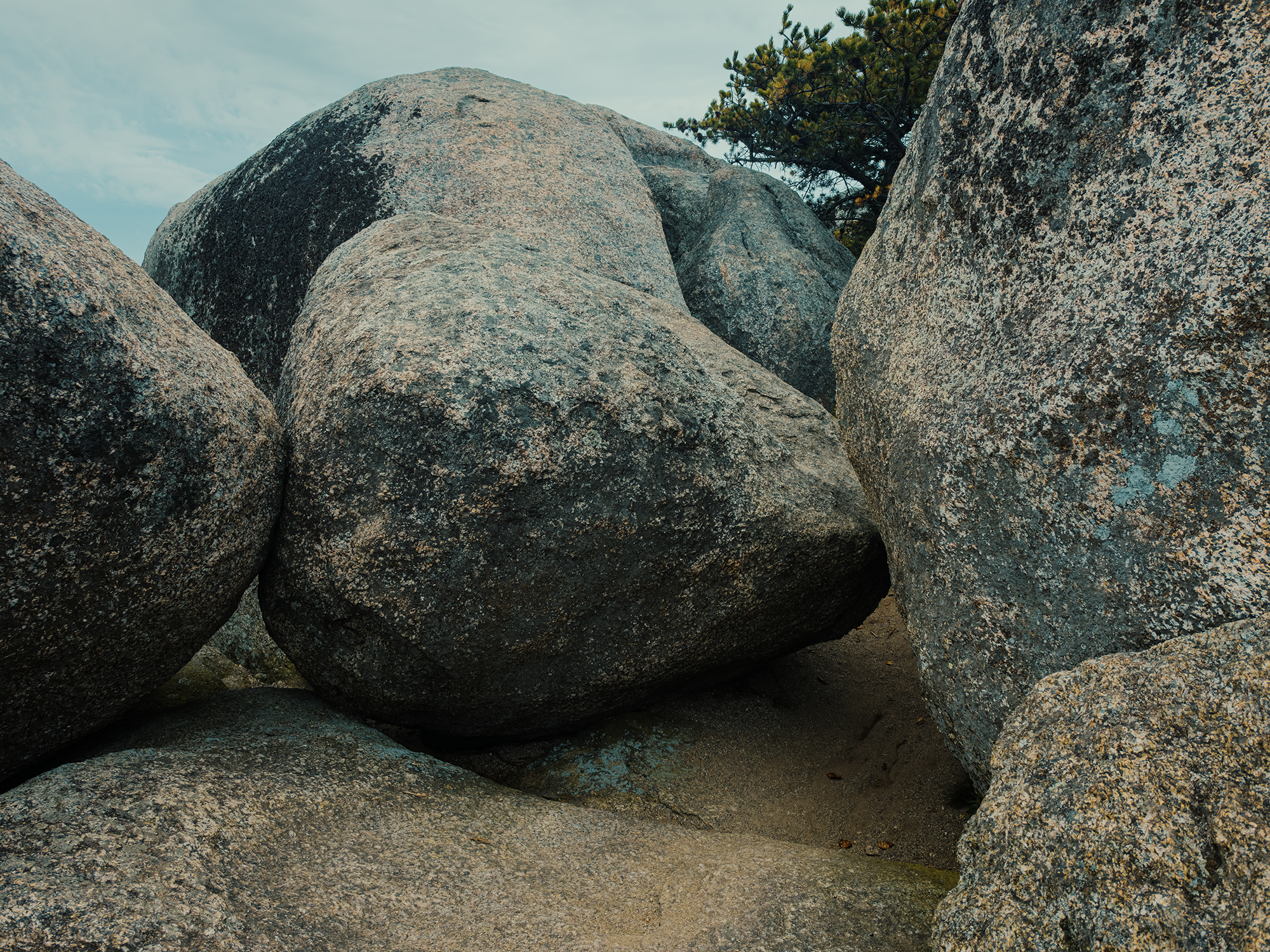
These two photos don’t do Old Rag justice, so make sure you watch the video!
While we were up here, it started to rain. Nothing torrential, but enough to give us reason to leave sooner rather than later, so that’s what we did. Having ascended Old Rag via the Ridge Trail, we descended via the Saddle Trail since all our stuff was on the other side of the mountain.
The Saddle Trail
The Saddle Trail (ST)—so named because it traverses the “saddle,” a notch or dip between peaks, in this case Robertson and Old Rag—is only about 1.9 mi. It takes you more directly down (especially near the summit) and has fewer switchbacks. My knees were starting to feel it by this point in the day, but we reached the Old Rag Fire Road without any trouble.
I realized that 1.9 mi figure above includes the part of the Old Rag Fire Road that runs from the ST to Post Office Junction, not quite 1/2 mi.
Post Office Junction
I’ve mentioned homesteaders a few times over the course of this post. Maybe you’re wondering what became of them? Sadly, they were evicted when the federal government claimed eminent domain over the land that ultimately became Shenandoah National Park. (Families in the Tennessee Valley were similarly impacted during the creation of Great Smoky Mountains National Park, too.)
Before that, the hollow communities had a handful of businesses and other buildings, including their very own post office. This placed served as a social hub (after a fashion): here, people would trade goods and stories and catch up on life in the neighboring hollows. Or maybe double-check their provisions if they were planning on the long, multi-day journey into Madison County. After most of the hollow residents had relocated, the post office remained operational until 1936. When it closed, it symbolized the end of an era.
Wrapping up
Just about the time we got our gear all packed and started down the Berry Hollow Fire Road toward the parking area, the rain got heavier. We tossed everything in the back of Brian’s 4Runner and headed out.
Compared to my last adventure in Shenandoah National Park, I think we did things better this time out! Base camping is definitely the way to go in such a “long” park with so many points of interest accessible just a short distance from Skyline Drive. Old Rag’s summit is tougher to get to than, say, Hawksbill’s (Shenandoah’s highest peak), but I think it’s so much more rewarding.
There’s always more to explore…
Catch the whole adventure on YouTube! Please consider subscribing (if you haven’t already). Thanks for stopping by!
What a wonderful way to spend a beautiful fall weekend with friends! Very informative about the history, geology, early homesteaders and indigenous peoples. Great job! Looking forward to more adventures.
Thanks! I enjoy making these videos and writing these posts: just trying to find ways to get to more places! Please feel free to check out some of the other videos on my channel, or to read the corresponding posts here!